npsot_bluebonnet_full_color

Deer Survey Techniques

Presentation Details

We’ll cover the who, what, where, when, why AND how of gathering population data for whitetail deer. Participants will learn the history of different techniques used to count bucks, does, and fawns. Knowing how many deer reside in an area will tell you if the population is too high for the habitat available. Presentation can be expanded from 50 to 70 minutes (without Q & A), to show calculations of existing population and how progressive hunting can improve the buck to doe ratio and increase fawn survival, half of which are bucks.
Equipment Required:
Projector, Screen, Computer, Microphone
Additional Requirements:
None
Ecoregions Covered:
Central Great Plains, Chihuahuan Deserts, Cross Timbers, East Central Texas Plains, Edwards Plateau, Gulf Coast Prairies and Marshes, High Plains, Southern Texas Plains, Southwestern Tablelands, Texas Blackland Prairies, Western Gulf Coastal Plain

Presenter Information

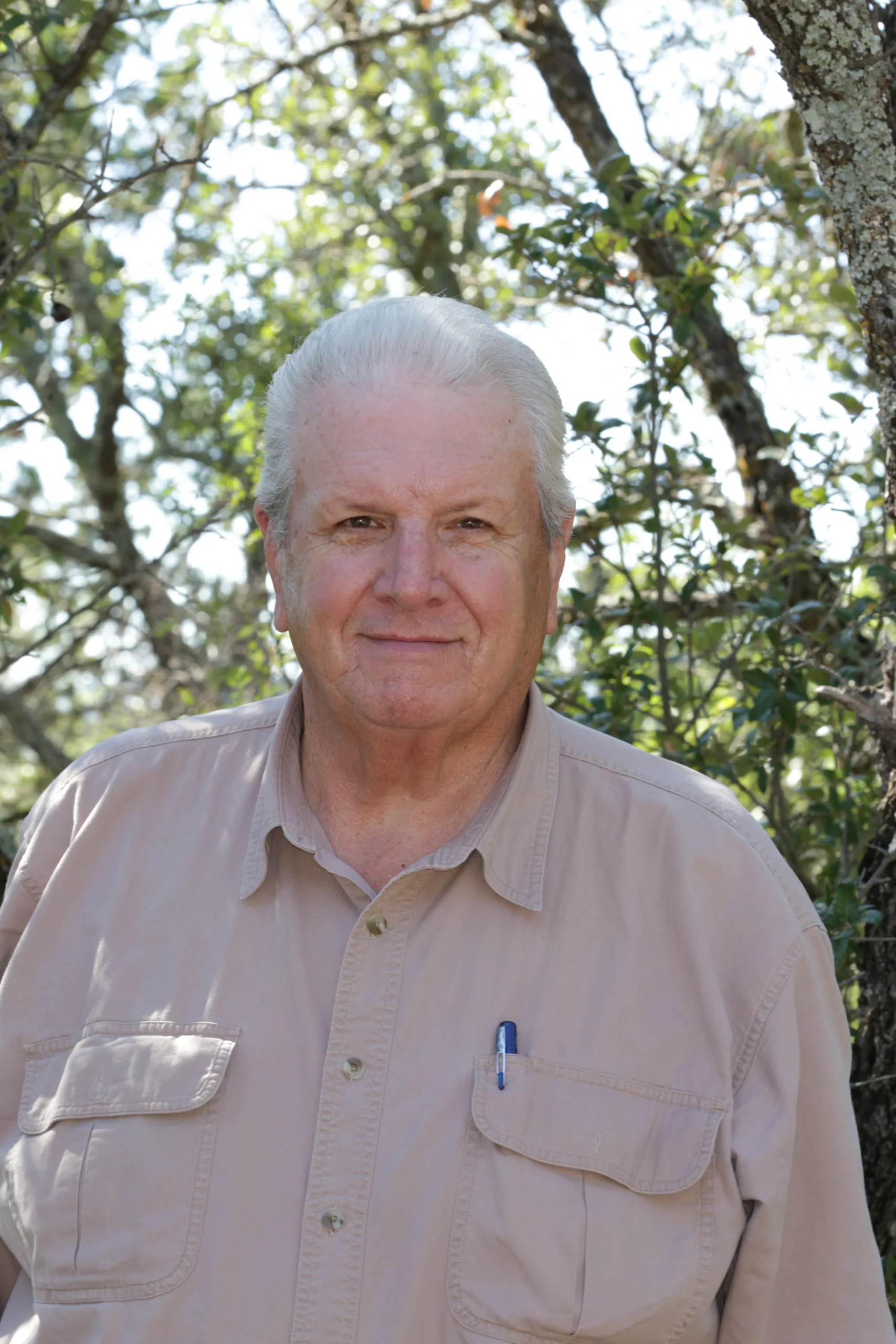
  • Ricky Linex

    Ricky Linex retired in 2021 as a wildlife biologist for the Natural Resources Conservation Service and now works as a range and wildlife consultant.

    With NRCS, Linex worked 52 counties in north central Texas covering the Rolling Plains, Cross Timbers, Blackland Prairie, and Post Oak Savannah vegetational regions. He worked 38.5 years with NRCS in Goldthwaite, Snyder, Abilene, and Weatherford.

    He is the author of Range Plants of North Central Texas, A Land Users Guide to Their Identification, Value and Management, a plant identification book for Texas. Range Plants was recognized in 2015 as an outstanding publication by the Texas Chapter - The Wildlife Society, the Native Plant Society of Texas, and the Texas Section - Society for Range Management.

Receive the latest native plant news

Subscribe To Our News

Subscribe to emails from the Native Plant Society of Texas.

Receive emails when new posts are added 4-6 times per month, or receive an email once a month.

Or join us on social media

About the Region

New Braunfels, the location of our Fall 2024 Symposium, straddles both the Edwards Plateau Ecoregion and the Blackland Prairie ecoregion. Interstate 35 divides the city of New Braunfels; its path through the city closely parallels the boundary of these two ecoregions, with the Edwards Plateau on the west side and the Blackland Prairies region to the east. The Edwards Plateau area is also called the Hill Country; however, this general term covers a much larger area extending farther north. Spring-fed creeks are found throughout the region; deep limestone canyons, rivers, and lakes (reservoirs) are common. Ashe juniper is perhaps the most common woody species found throughout the region. Additional woody species include various species of oak, with live oak (Quercus fusiformis) being the most common. Sycamores (Platanus occidentalis) and bald cypress (Taxodium distichum) border waterways. This area is well known for its spring wildflower displays, though they may be viewed in spring, late summer, and fall, as well. According to Texas Parks and Wildlife, average annual rainfall in the Edwards Plateau ranges from 15 to 34 inches.

The Blackland Prairie extends from the Red River south to San Antonio, bordered on the west by the Edwards Plateau and the Cross Timbers, and on the east by the Post Oak Savannah. Annual rainfall averages 30 to 40 inches, with higher averages to the east. This region is dominated by prairie species. The most common grass species include little bluestem (Schizachyrium scoparium) and Indian grass (Sorghastrum nutans) in the uplands and switchgrass (Panicum virgatum) in the riparian areas and drainages. Common herbaceous flowering plants include salvias, penstemons, and silphiums. This area has suffered greatly from overgrazing and agricultural use. Few intact areas remain, though many of the plants can be found along county roadsides throughout the region.

Our four host chapters (New Braunfels, Lindheimer, Guadalupe, and the Hill Country chapters) are located in one or both of the ecoregions above. However, the eastern portion of Guadalupe County also falls within the Post Oak Savanna ecoregion. Annual rainfall averages 35 to 45 inches, with higher averages to the east. A wide variety of hardwood trees are found, including several species of oaks, elms, and in the Bastrop area, loblolly pine (Pinus taeda). Grasses and forbs dominate in the open savannas, with most common grass being little bluestem. Ranching, agriculture, and fire suppression have allowed woody species to encroach on the once-open savannas.

Source: Wildflowers of Texas by Michael Eason