

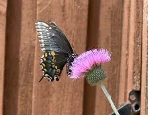


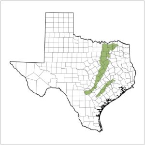
The Blackland Prairie
The Dallas Chapter of NPSOT includes all of Dallas County and the twenty-two cities within its boundaries.
We are in the Blackland Prairie Ecoregion: Average rainfall 28-40 inches with peak rainfall usually in May, Hardiness Zone 8A, average annual minimum temps 15-10 degrees.
Wildflower Planting dates for our area are:
Spring – January 15th thru March 1st
Fall – October 1st thru December 1st
Check this link for a PDF of the USDA’s Hardiness Zone Map for Texas: https://ftp.dot.state.tx.us/pub/txdot-info/library/pubs/cit/hardiness_district.pdf.
Our area is predominately an urban landscape, and the Dallas Chapter’s primary goal is to educate homeowners, businesses, and municipalities on the benefit of planting native landscapes. Each meeting, newsletter, field trip and activity will strive to achieve this goal.