npsot_bluebonnet_full_color

Get on the Homegrown National Park Map

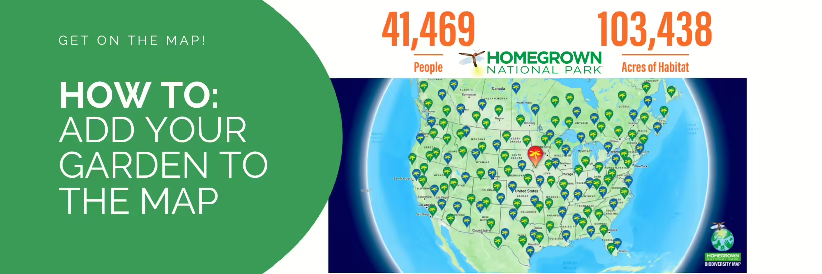
Show off your native plant garden by “getting on the map”! The Native Plant Society of Texas is partnering with Doug Tallamy’s Homegrown National Park® (HNP) to add 100 Texas native plant gardens to their Biodiversity Map . Let’s demonstrate how NPSOT members are making a real impact with their gardens!

How to get on the map and join your user account to NPSOT: 

  1. Visit the Homegrown National Park Website: https://map.homegrownnationalpark.org/
  2. Set up your User Account. Follow User Account Setup instructions.
  3. Join your User Account to Native Plant Society of Texas.  Follow How To Join an Organization instructions.
  4. Click your account name in the upper right corner and select My Settings.
  5. Scroll down to Memberships section.
  6. Enter Native Plant Society of Texas into Search field.
  7. Select Native Plant Society of Texas from the dropdown.
  8. Click Request to Join.
  9. A NPSOT Admin will review your request. Upon NPSOT approval, you will be able to associate any of your Planted Areas to NPSOT – State.
  10. Submit Your Information: After the next daily map update, your contribution will be visible as part of the collective effort to reach the goal of 20 million acres of native plantings in the U.S.

We encourage all Texans to join the movement and register their native planting accomplishments on HNP’s national Biodiversity Map.

Questions? Email us at Homegrown-Natl-Park@npsot.org.

Frequently Asked Questions:

Q: I have been on the map since 2022.  Do I have to do something? 
A:  Yes, we would like you to associate your HNP Member Profile to the Native Plant Society of Texas Membership section of your profile.  See instructions for How to Join an Organization.
 
Q:  I have more than 1 planting areas on this site and can’t find a place to enter a 2nd, 3rd and 4th planting area.
A:  See attached instructions to add additional Sites and Planting Areas.
 
Q:  I tried to find the link on my membership page, but could not.  Would it be possible for you to see if my native plant garden has already been registered? 
A:  Use the SEARCH feature.  Enter the address for your profile and search on the desired address.
 
Q: Is my entry just another certification like NWF, Monarch Watch, Audubon, etc.?
A: Getting on the Biodiversity Map is not a certification.  It is a visual listing, acknowledgement and confirmation that a single individual can take independent action and make a difference in restoring the foundation of biodiversity by planting native plants.  It is free. Homegrown National Park is Doug Tallamy’s non-profit organization . It provides education about growing native plants, reducing non-productive turf lawns, removing invasive plants, and specific keystone native plants which are critical to building a foundation for habitats. This tool maps where folks are installing native plant sites and planting areas, as part of a native plant focused movement.
Receive the latest native plant news

Subscribe To Our News

Subscribe to emails from the Native Plant Society of Texas.

Receive emails when new posts are added 4-6 times per month, or receive an email once a month.

Or join us on social media

About the Region

New Braunfels, the location of our Fall 2024 Symposium, straddles both the Edwards Plateau Ecoregion and the Blackland Prairie ecoregion. Interstate 35 divides the city of New Braunfels; its path through the city closely parallels the boundary of these two ecoregions, with the Edwards Plateau on the west side and the Blackland Prairies region to the east. The Edwards Plateau area is also called the Hill Country; however, this general term covers a much larger area extending farther north. Spring-fed creeks are found throughout the region; deep limestone canyons, rivers, and lakes (reservoirs) are common. Ashe juniper is perhaps the most common woody species found throughout the region. Additional woody species include various species of oak, with live oak (Quercus fusiformis) being the most common. Sycamores (Platanus occidentalis) and bald cypress (Taxodium distichum) border waterways. This area is well known for its spring wildflower displays, though they may be viewed in spring, late summer, and fall, as well. According to Texas Parks and Wildlife, average annual rainfall in the Edwards Plateau ranges from 15 to 34 inches.

The Blackland Prairie extends from the Red River south to San Antonio, bordered on the west by the Edwards Plateau and the Cross Timbers, and on the east by the Post Oak Savannah. Annual rainfall averages 30 to 40 inches, with higher averages to the east. This region is dominated by prairie species. The most common grass species include little bluestem (Schizachyrium scoparium) and Indian grass (Sorghastrum nutans) in the uplands and switchgrass (Panicum virgatum) in the riparian areas and drainages. Common herbaceous flowering plants include salvias, penstemons, and silphiums. This area has suffered greatly from overgrazing and agricultural use. Few intact areas remain, though many of the plants can be found along county roadsides throughout the region.

Our four host chapters (New Braunfels, Lindheimer, Guadalupe, and the Hill Country chapters) are located in one or both of the ecoregions above. However, the eastern portion of Guadalupe County also falls within the Post Oak Savanna ecoregion. Annual rainfall averages 35 to 45 inches, with higher averages to the east. A wide variety of hardwood trees are found, including several species of oaks, elms, and in the Bastrop area, loblolly pine (Pinus taeda). Grasses and forbs dominate in the open savannas, with most common grass being little bluestem. Ranching, agriculture, and fire suppression have allowed woody species to encroach on the once-open savannas.

Source: Wildflowers of Texas by Michael Eason