


Nominations Are Open for 2026 Annual Awards!
Nominations are now open for the annual awards recognizing the achievements of individuals and groups whose work enriches our understanding and appreciation of Texas native plants. The awards are: NATIVE STAR AWARD honoring
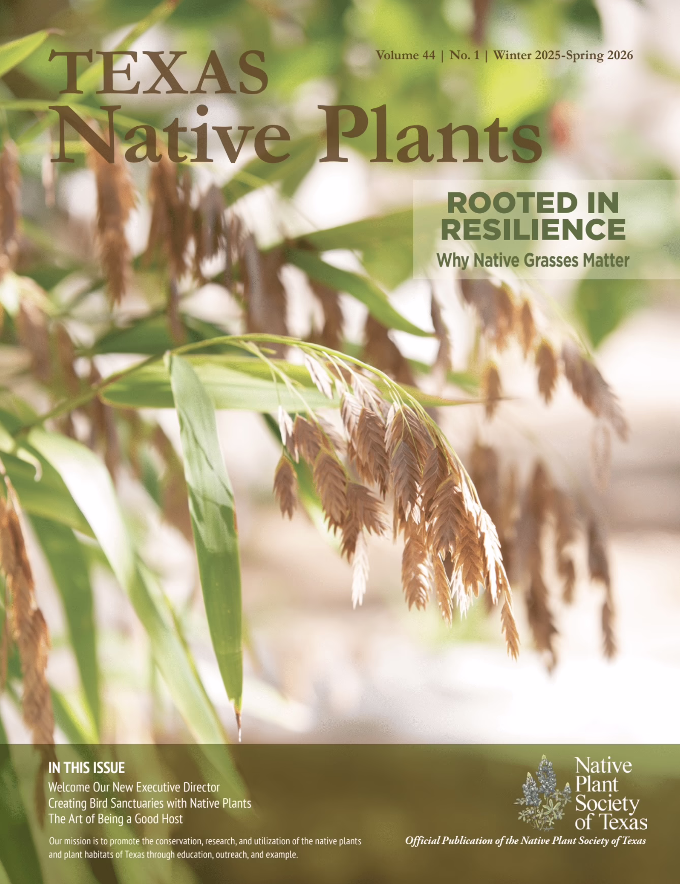
Winter 2026 Member Magazine
Executive Update | Symposium Recap | Native Plant Database | Good Host | Bird Sanctuaries | Native Grasses | Making Peace with HOA | Member News | Early Spring Care
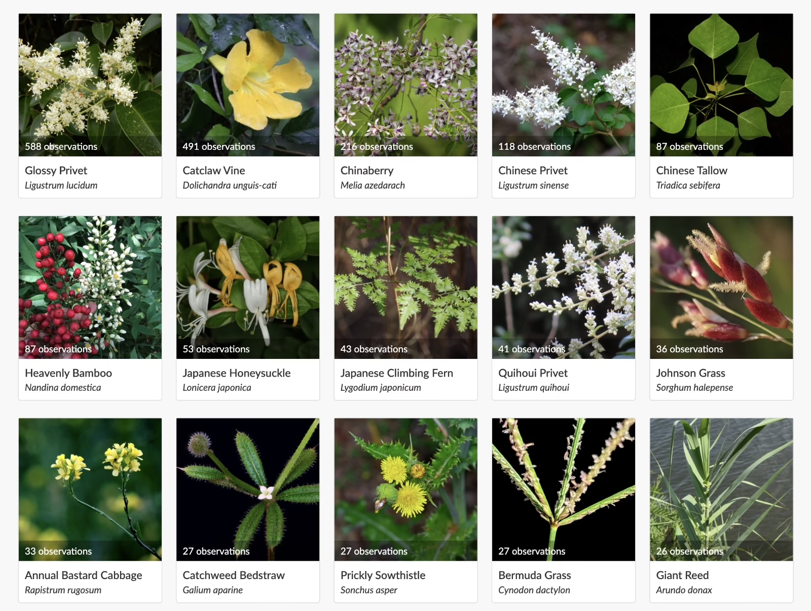
Join Us for the Big Pull
Please join us for the invasive species Big Pull! Let’s make an impact during National Invasive Species Week by removing invasive species and supporting healthy native ecosystems across Texas between