White Shin Oak

Quercus durandii var. breviloba

Other common name(s):

Bigelow Oak, Scaly-bark Oak, Limestone Durand Oak, Shortlobe Oak, Bastard Oak

Family:

Fagaceae (Beech Family)

Plant Ecoregion Distribution Map

This map uses data from the US EPA. EPA  servers have been offline frequently so maps may not display. We are working on a solution.

Central Great Plains, Cross Timbers, Edwards Plateau
Broken Red Plains, Limestone Plains, Red Prairie
Carbonate Cross Timbers, Eastern Cross Timbers, Grand Prairie, Limestone Cut Plain, Western Cross Timbers
Balcones Canyonlands, Edwards Plateau Woodland, Llano Uplift, Semiarid Edwards Plateau

Plant Characteristics

Growth Form

Tree

Height

10
to
12
ft.

Spread

to
ft.

Leaf Retention

Deciduous

Lifespan

Perennial

Habitat and Care Requirements

Soil Type(s)

Loam, Clay, Limestone, Dry

Light Requirement

Part Shade

Water Requirement

Low

Native Habitat

Grassland

Bloom and Attraction

Bloom Color

Red

Bloom Season

Spring

Seasonal Interest

Nuts, Nectar, Nesting Material

Wildlife Benefit

Butterflies, Birds, Small Mammals

Maintenance

Forms thickets on shallow soil, found mostly on limestone hills. Native habitat: open oak woodlands, dry scrublands, margins of grasslands, and along streams and arroyos, on limestone, rarely on granitics. WARNING: leaves and acorns toxic to animals if eaten; in some cases fatal. Humans should generally avoid ingesting plants that are toxic to animals. Propagation: seed.

Comments

Blooms March-May. Usually a multi-trunked tree or shrub with light gray, flaking bark. Leaves up to 3 inches long, irregularly and shallowly lobed. Tiny flowers clustered on a catkin. The fruit is a nut (acorn) up to 5/8 inch long and 3/8 inch wide. Larval host: Horace’s Duskywing, Hairstreak.
Previous Scientific Name(s): Quercus sinuata var. breviloba, Quercus annulata, Quercus breviloba, Quercus durandii var. breviloba, Quercus san-sabeana

About the Region

Fall Symposium 2025 Logo - Teach for the Future

Salado, the location of our Fall 2025 Symposium, lies at the intersection of two ecoregions: the Edwards Plateau (Limestone Cut Plain) and Blackland Prairie (Northern Blackland Prairie).

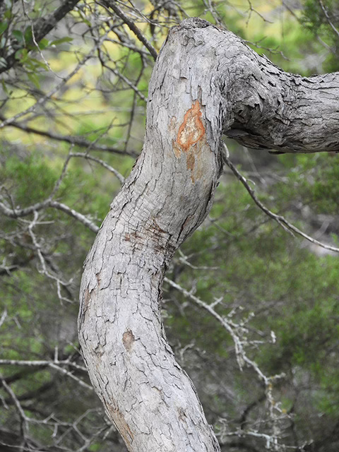
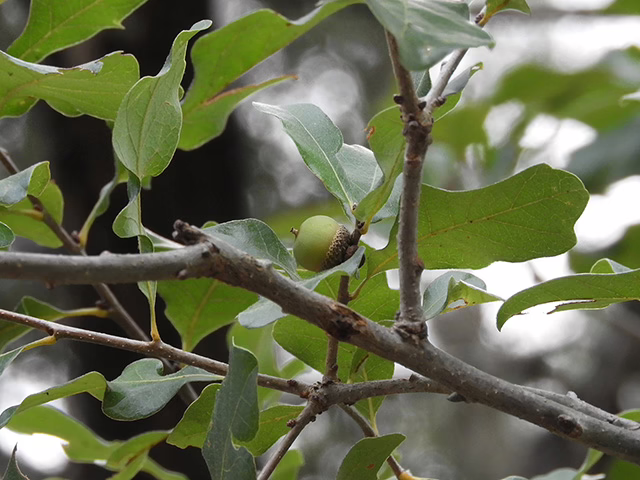
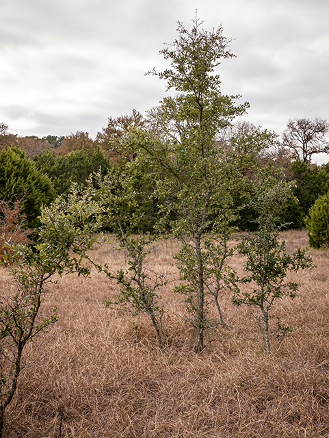
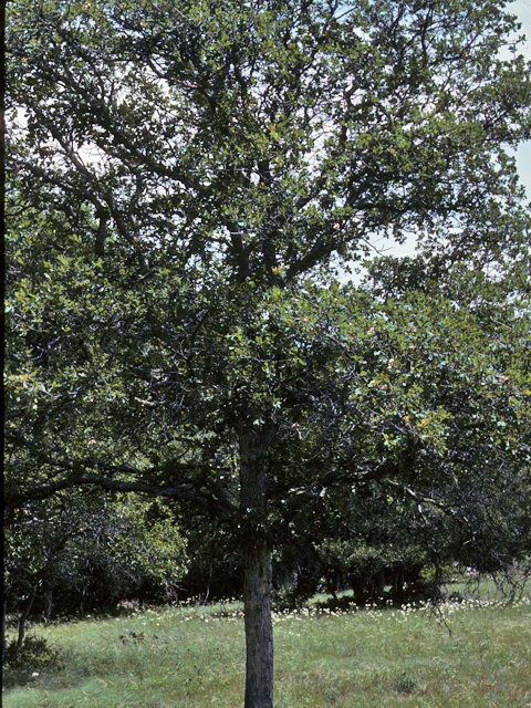
The Edwards Plateau area is also called the Hill Country; however, this general term covers a much larger area extending farther north. Spring-fed creeks are found throughout the region; deep limestone canyons, rivers, and lakes (reservoirs) are common. Ashe juniper is perhaps the most common woody species found throughout the region. Additional woody species include various species of oak, with live oak (Quercus fusiformis) being the most common. Sycamores (Platanus occidentalis) and bald cypress (Taxodium distichum) border waterways. This area is well known for its spring wildflower displays, though they may be viewed in spring, late summer, and fall, as well. According to Texas Parks and Wildlife, average annual rainfall in the Edwards Plateau ranges from 15 to 34 inches.

The Blackland Prairie extends from the Red River south to San Antonio, bordered on the west by the Edwards Plateau and the Cross Timbers, and on the east by the Post Oak Savannah. Annual rainfall averages 30 to 40 inches, with higher averages to the east. This region is dominated by prairie species. The most common grass species include little bluestem (Schizachyrium scoparium) and Indian grass (Sorghastrum nutans) in the uplands and switchgrass (Panicum virgatum) in the riparian areas and drainages. Common herbaceous flowering plants include salvias, penstemons, and silphiums. This area has suffered greatly from overgrazing and agricultural use. Few intact areas remain, though many of the plants can be found along county roadsides throughout the region.

Our fall Symposium host chapter, the Tonkawa Chapter, includes both of these ecoregions.

Source: Wildflowers of Texas by Michael Eason