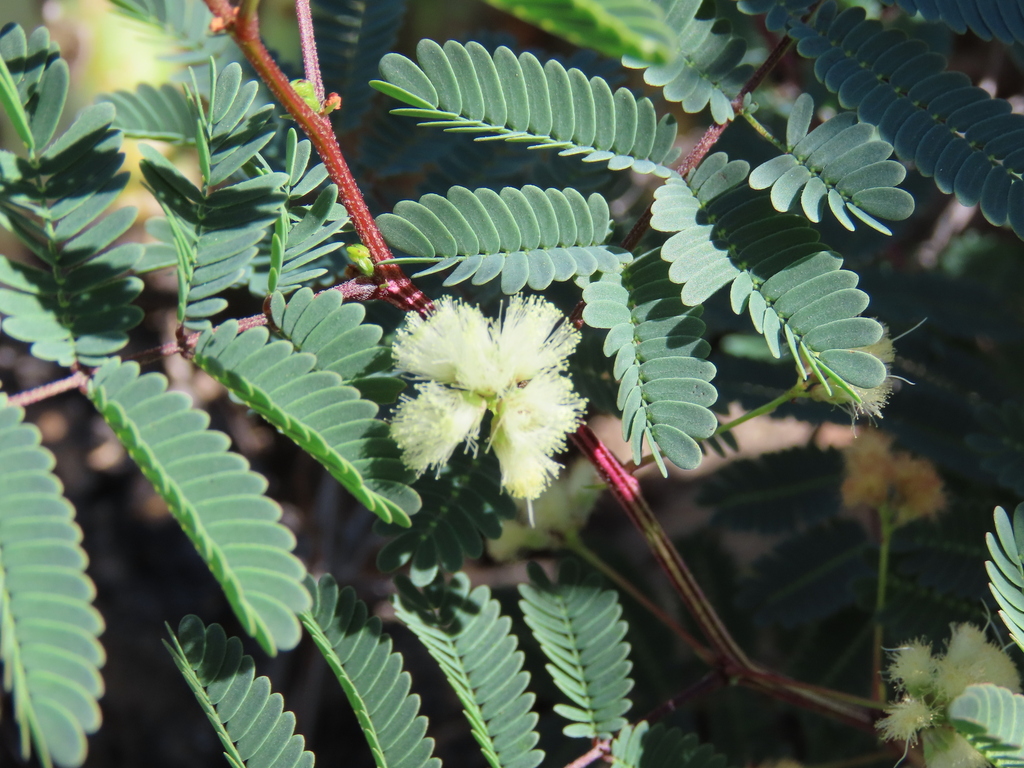
Prairie Acacia
Acacia angustissima
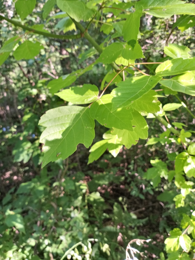
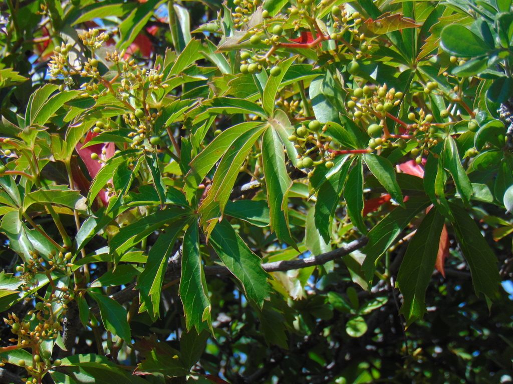
Box Elder
Acer negundo
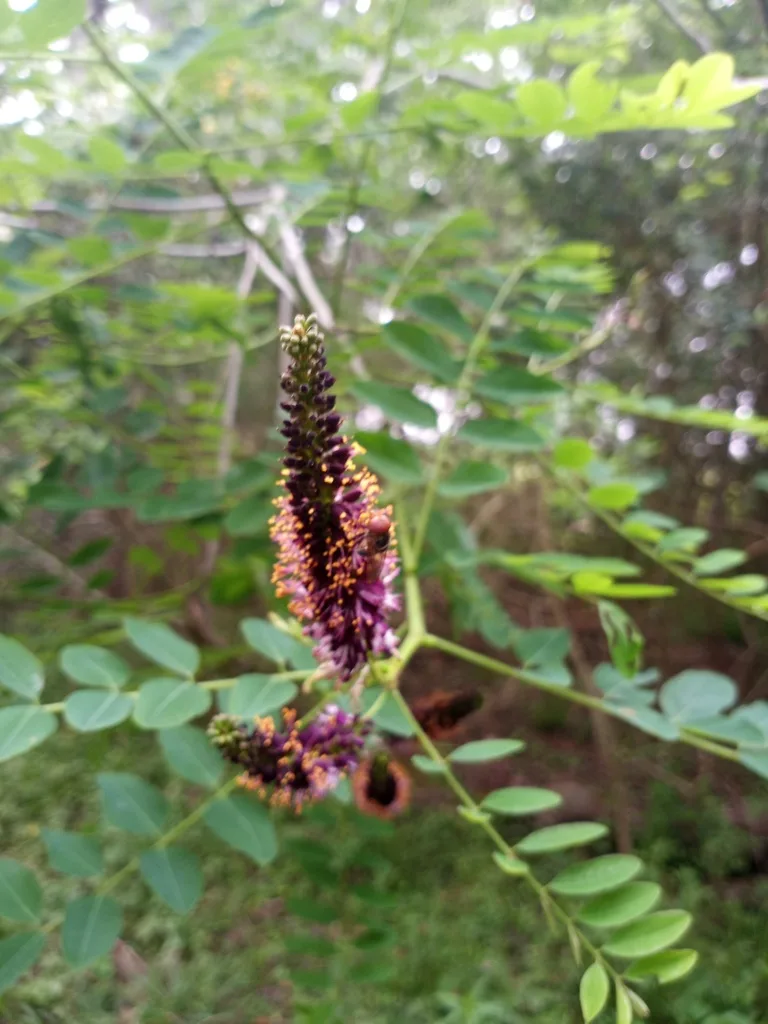
False Indigo Bush
Amorpha fruticosa
Indian Plantain
Arnoglossum plantagineum
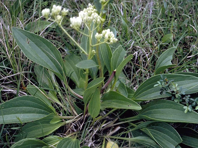
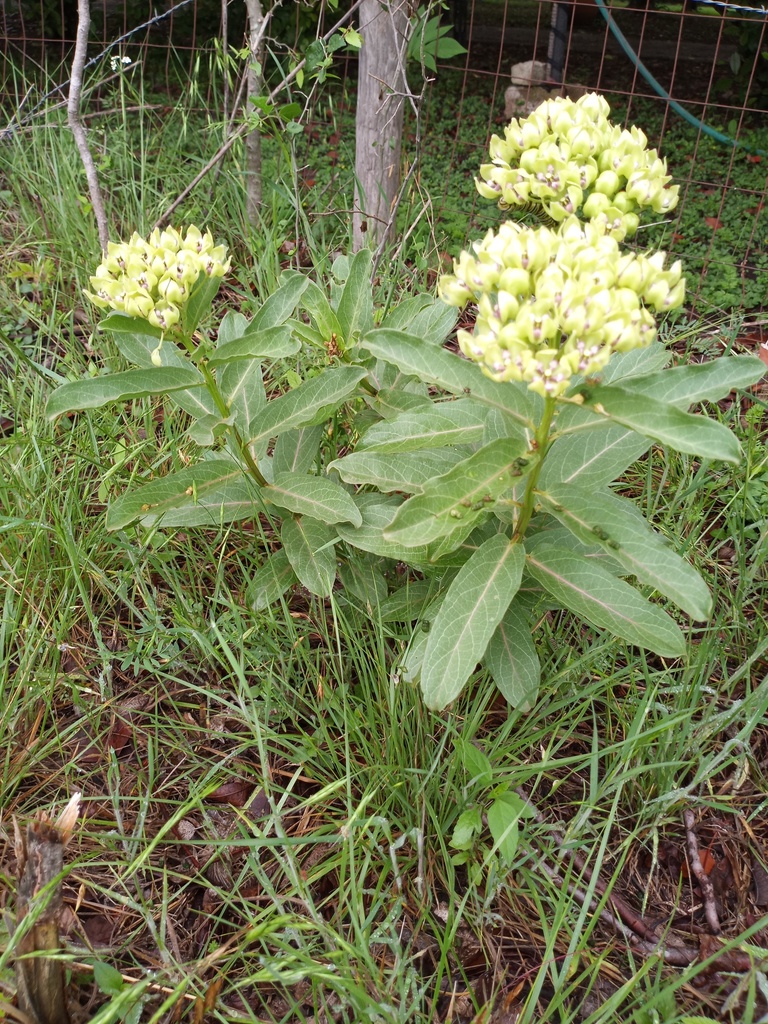
Green Milkweed
Asclepias viridis
Poverty Weed
Baccharis neglecta
Sideoats Grama
Bouteloua curtipendula
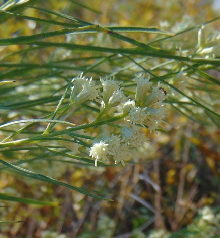
False Boneset
Brickellia eupatorioides

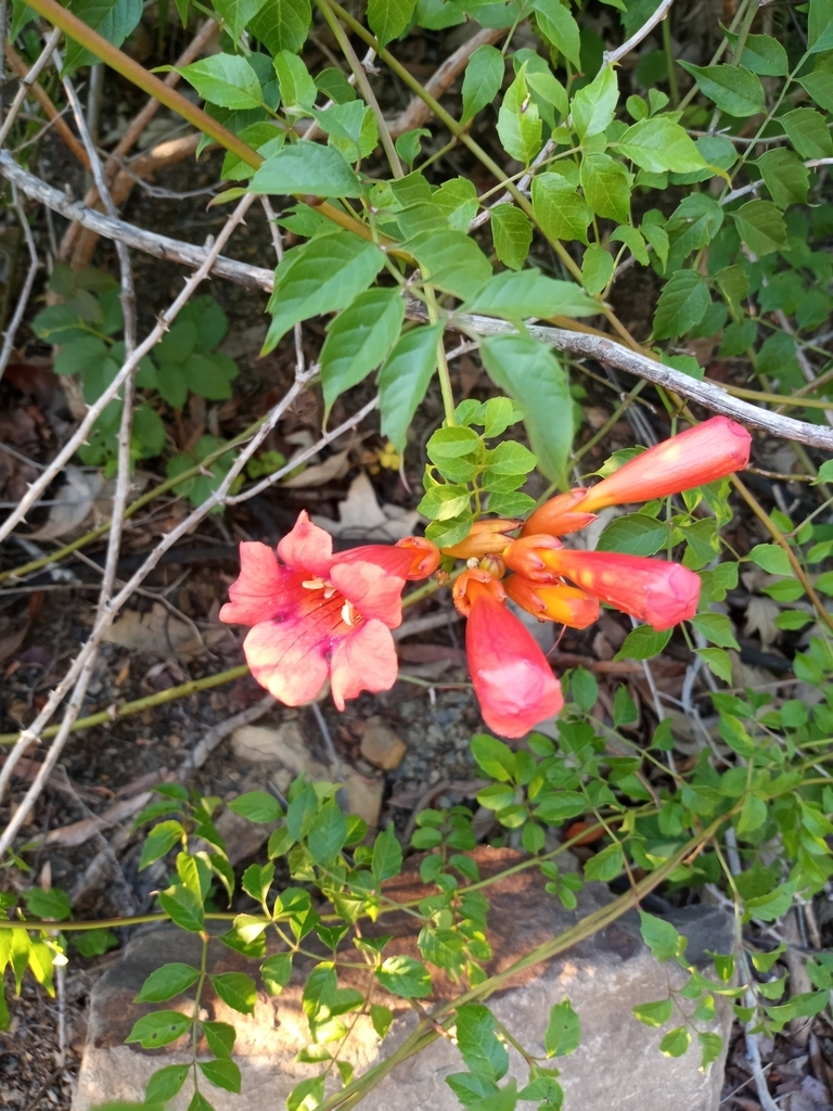
Trumpet Creeper Vine
Campsis radicans
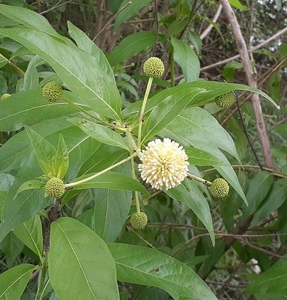
Buttonbush
Cephalanthus occidentalis
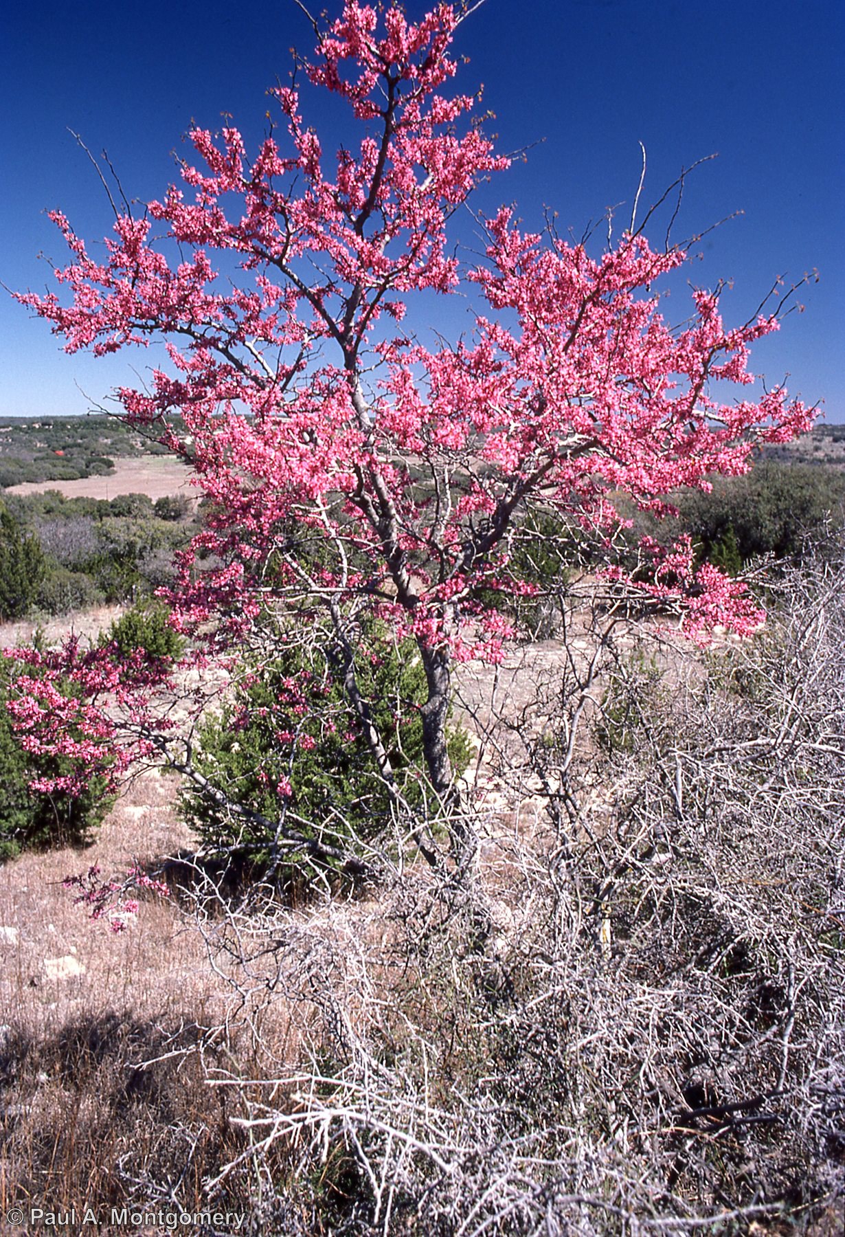
Texas Redbud
Cercis canadensis var. texensis
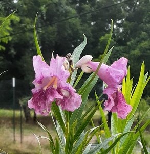
Desert Willow
Chilopsis linearis
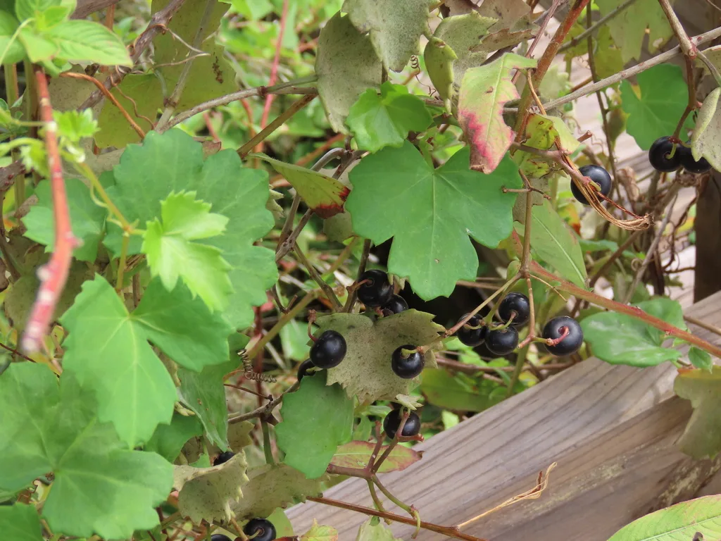
Sorrelvine
Cissus trifoliata
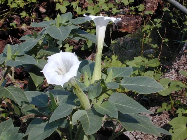
Angel Trumpet
Datura wrightii
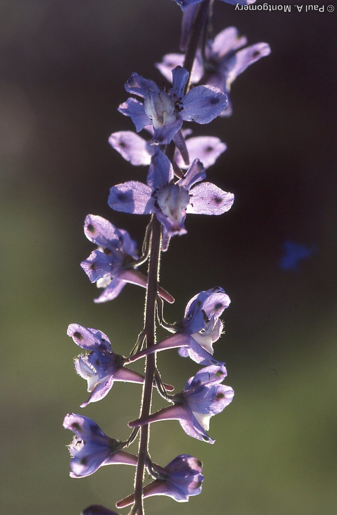
Prairie Larkspur
Delphinium carolinianum
Common Persimmon
Diospyros virginiana

Horsecrippler Cactus
Echinocactus texensis

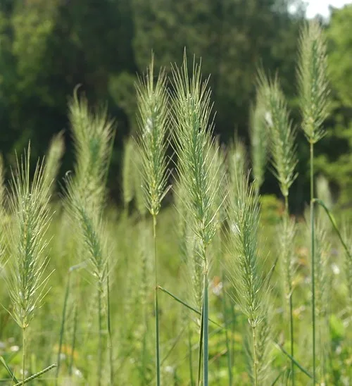
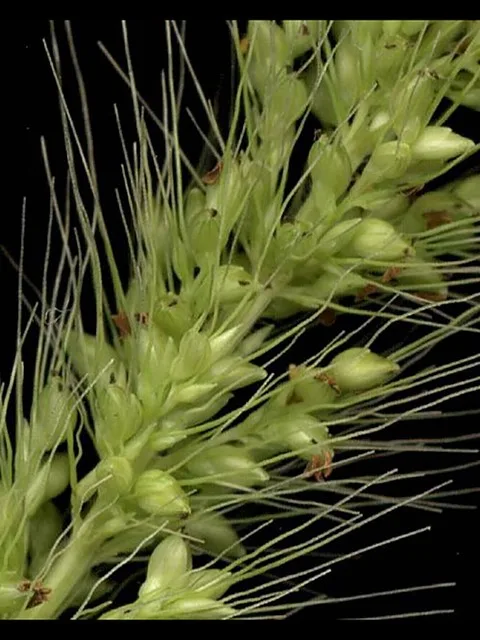
Virginia Wildrye
Elymus virginicus
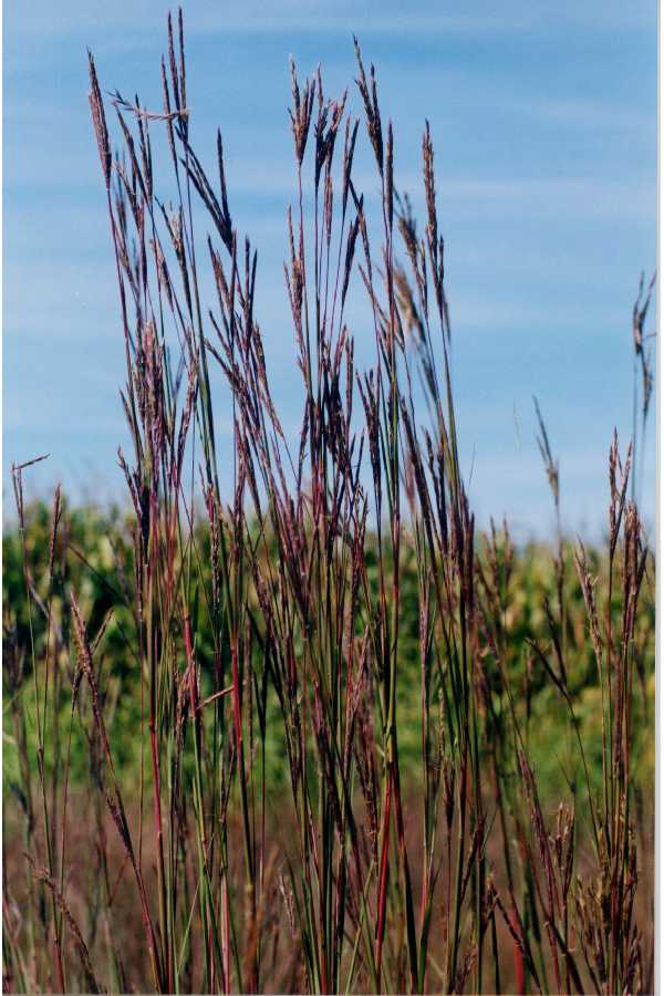
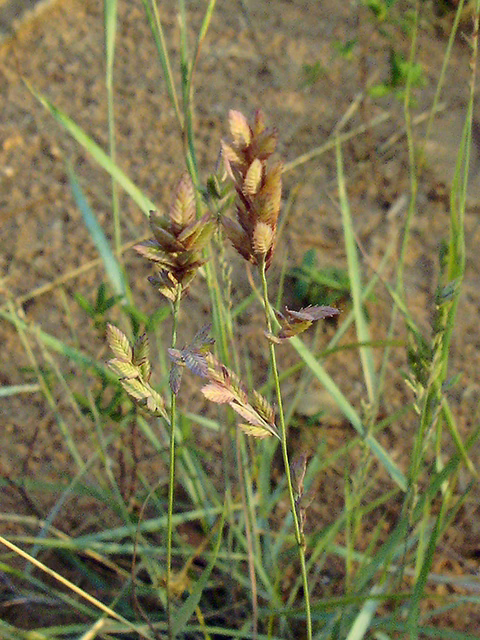
Red Lovegrass
Eragrostis secundiflora
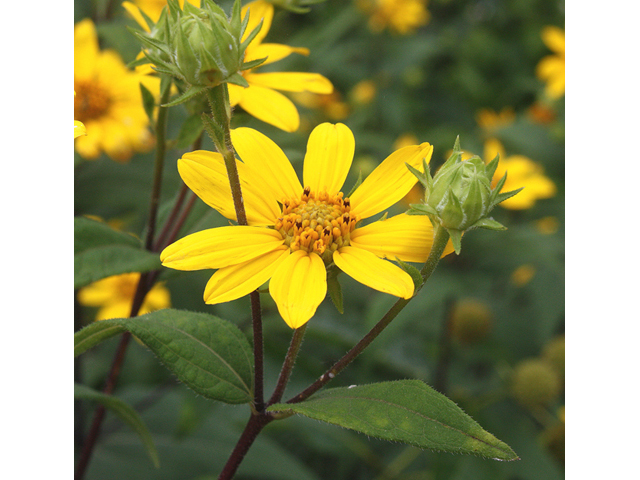
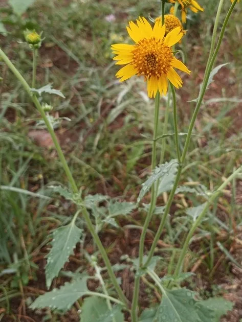
Hairy Sunflower
Helianthus hirsutus
Red Yucca
Hesperaloe parviflora

Possumhaw Holly
Ilex decidua

Narrowleaf Puccoon
Lithospermum incisum

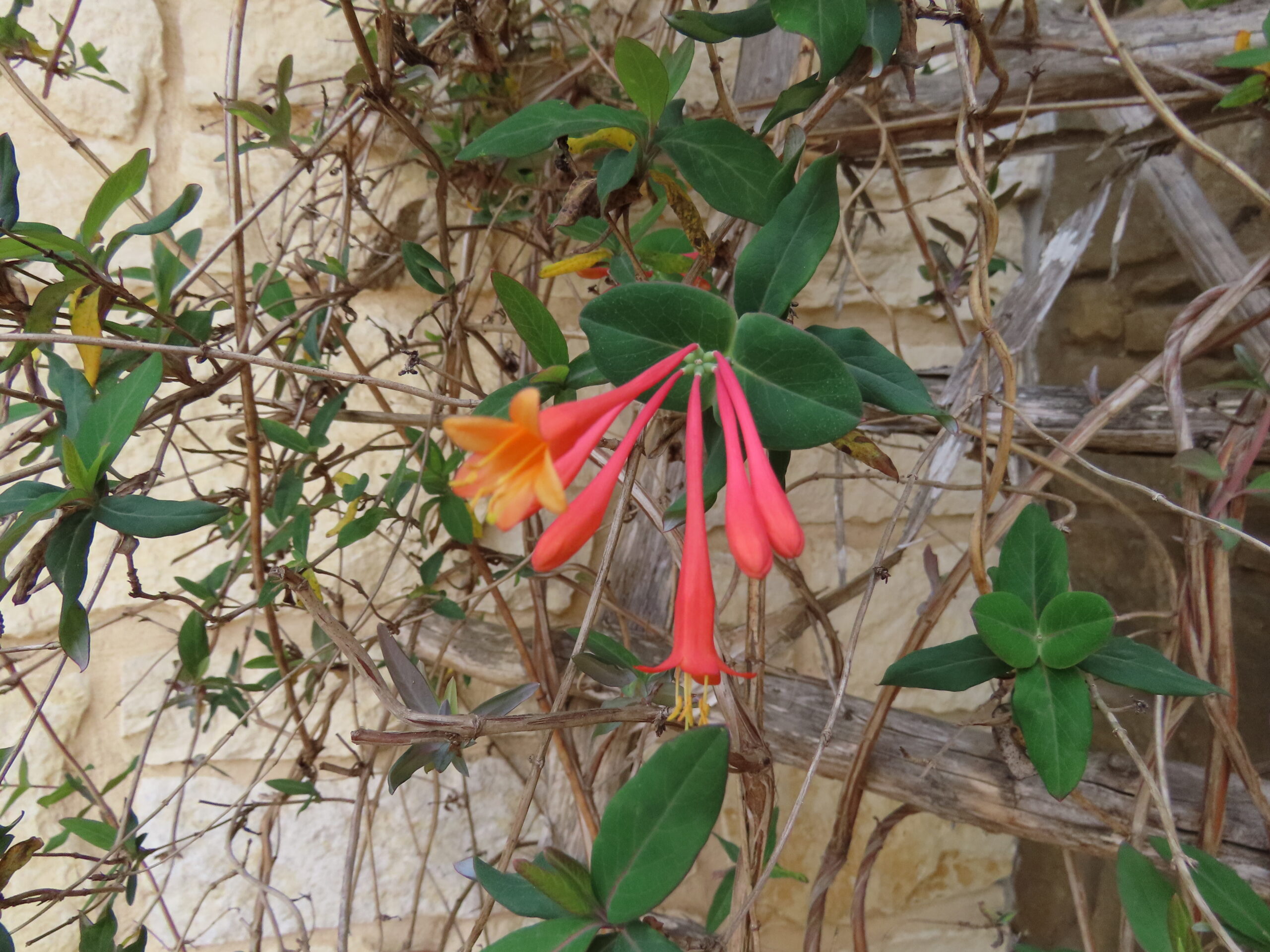
Coral Honeysuckle
Lonicera sempervirens
California Loosestrife
Lythrum californicum
White Four O'Clock
Mirabilis albida
Wild Four O'clock
Mirabilis nyctaginea

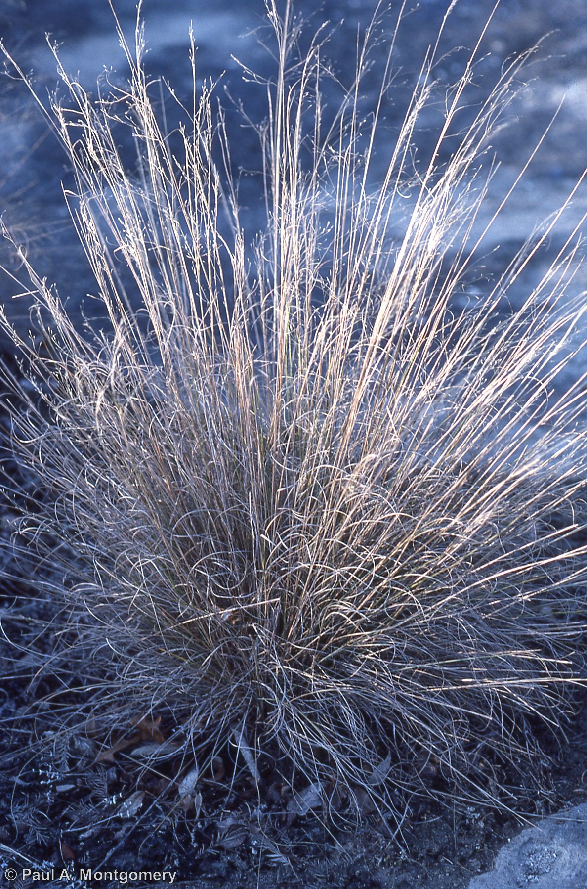
Seep Muhly
Muhlenbergia reverchonii
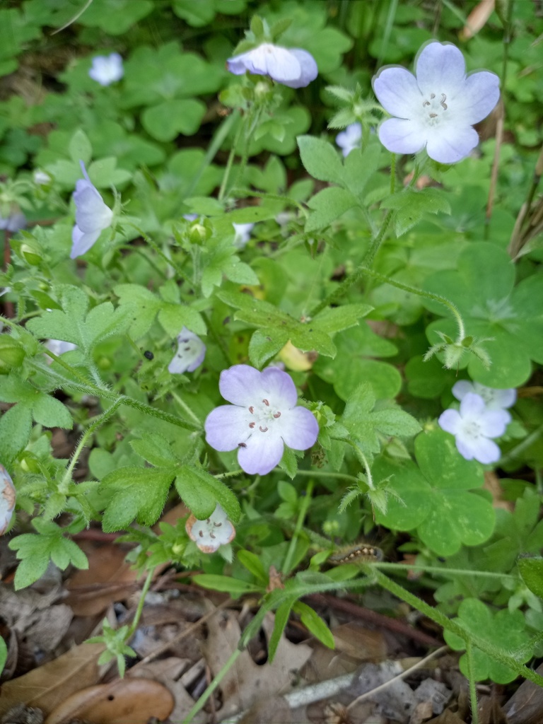
Baby Blue Eyes
Nemophila phacelioides
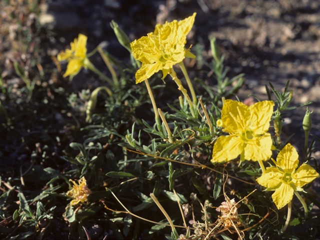
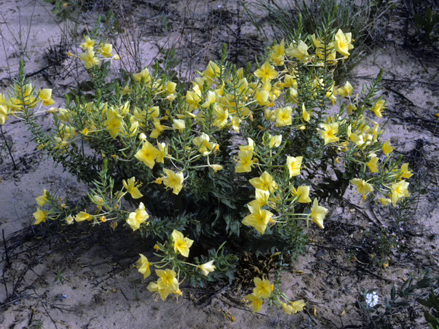
Western Primrose
Oenothera hartwegii
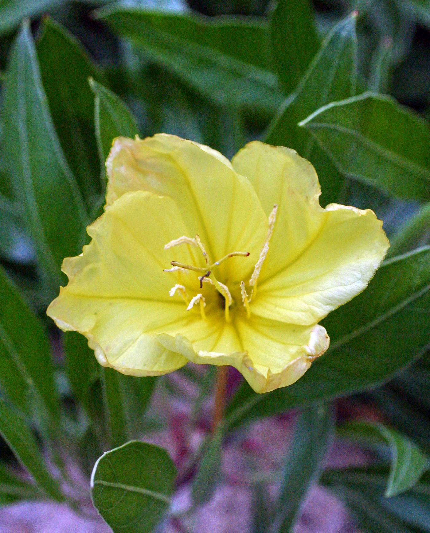
Missouri Primrose
Oenothera macrocarpa
Diamond Petal Primrose
Oenothera rhombipetala
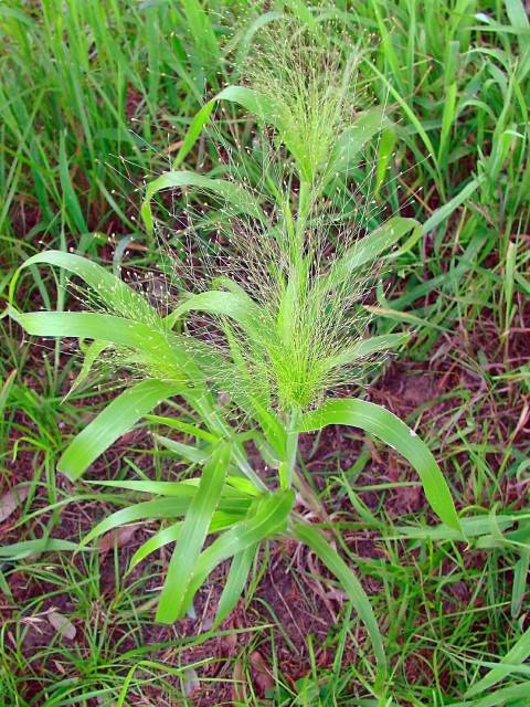
Witchgrass
Panicum capillare
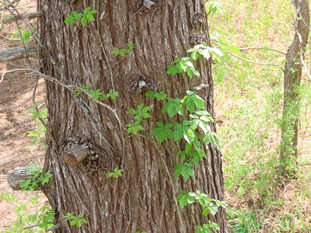
Virginia Creeper
Parthenocissus quinquefolia
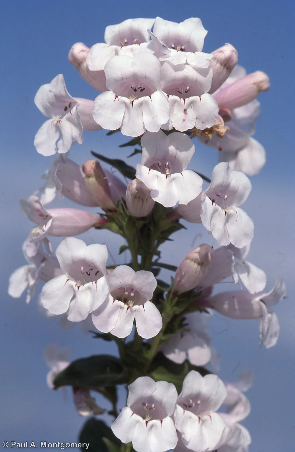
Wild Foxglove
Penstemon cobaea
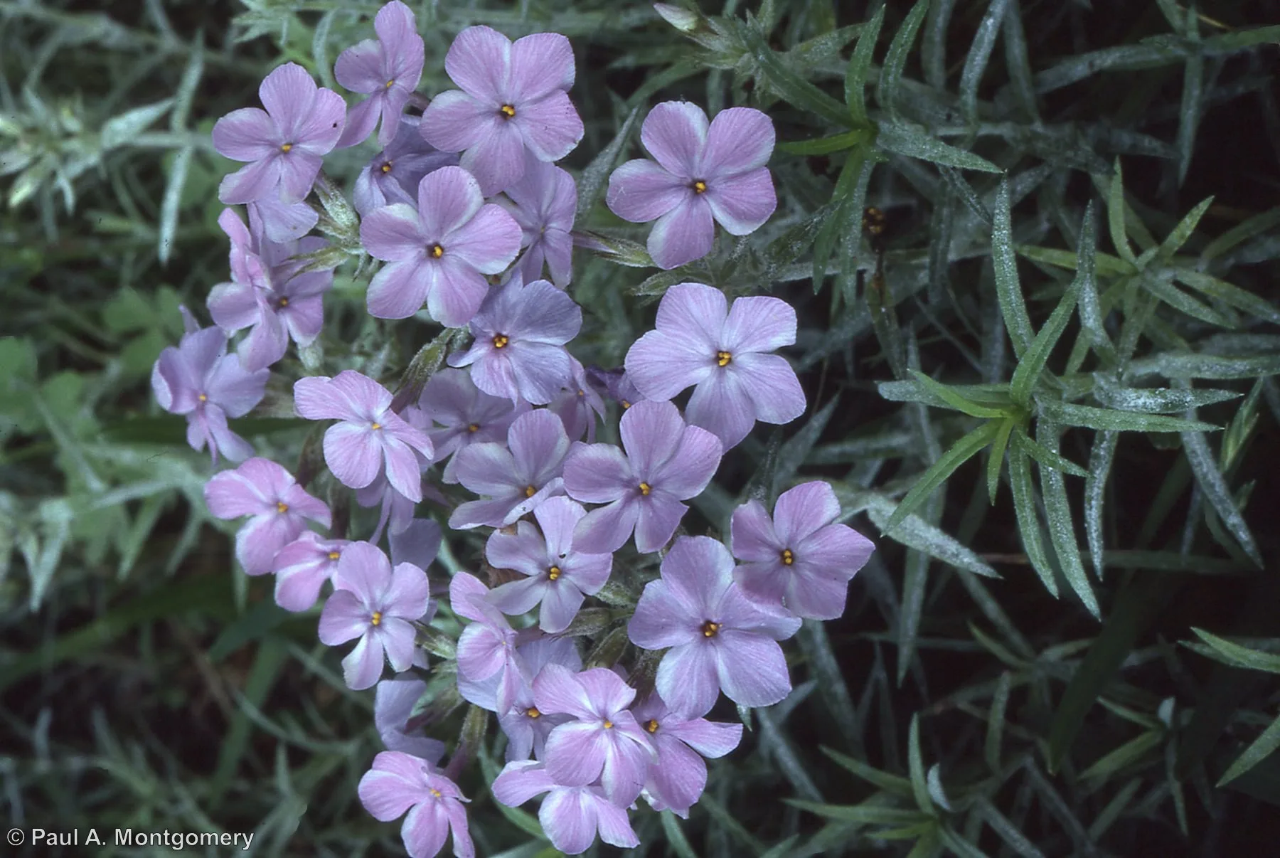
Fragrant Phlox
Phlox pilosa
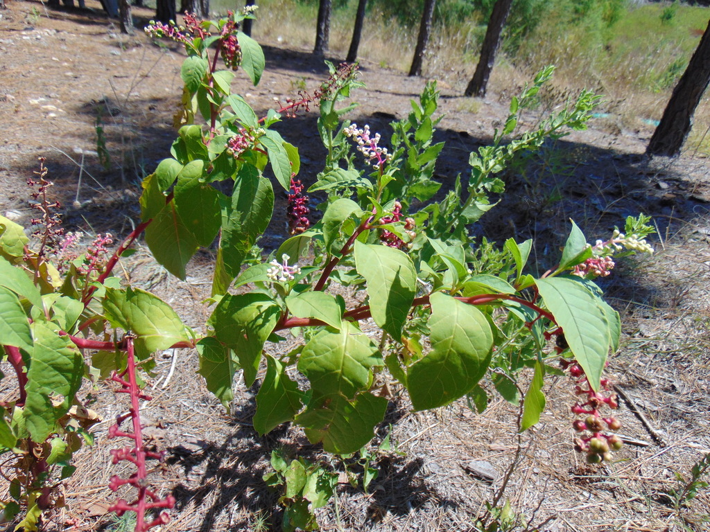
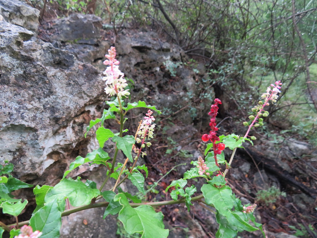
American Pokeweed
Phytolacca americana
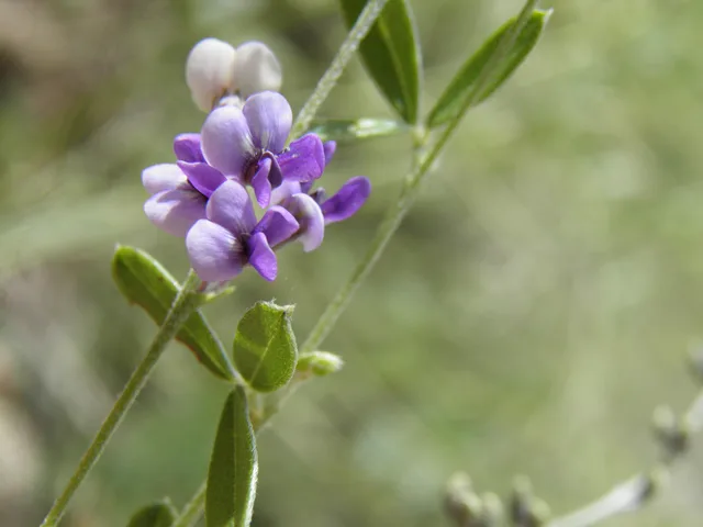
Scurfy Pea
Psoralidium tenuiflorum
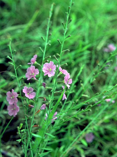
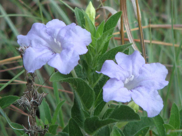
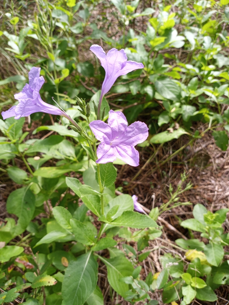
Prairie Petunia
Ruellia humilis
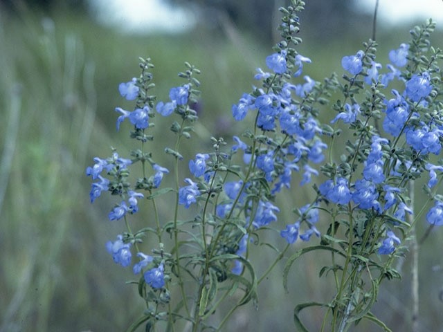
Azure Sage
Salvia azurea
Prairie Goldenrod
Solidago nemoralis
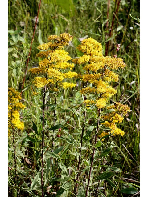
Stiff Goldenrod
Solidago rigida

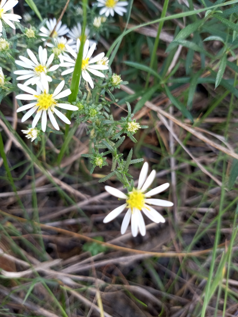
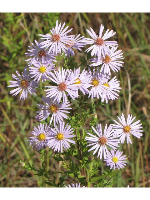
Heath Aster
Symphyotrichum ericoides
Lanceleaf Aster
Symphyotrichum lanceolatum

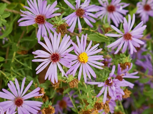
Fall Aster
Symphyotrichum oblongifolium
Willowleaf Aster
Symphyotrichum praealtum
American Germander
Teucrium canadense
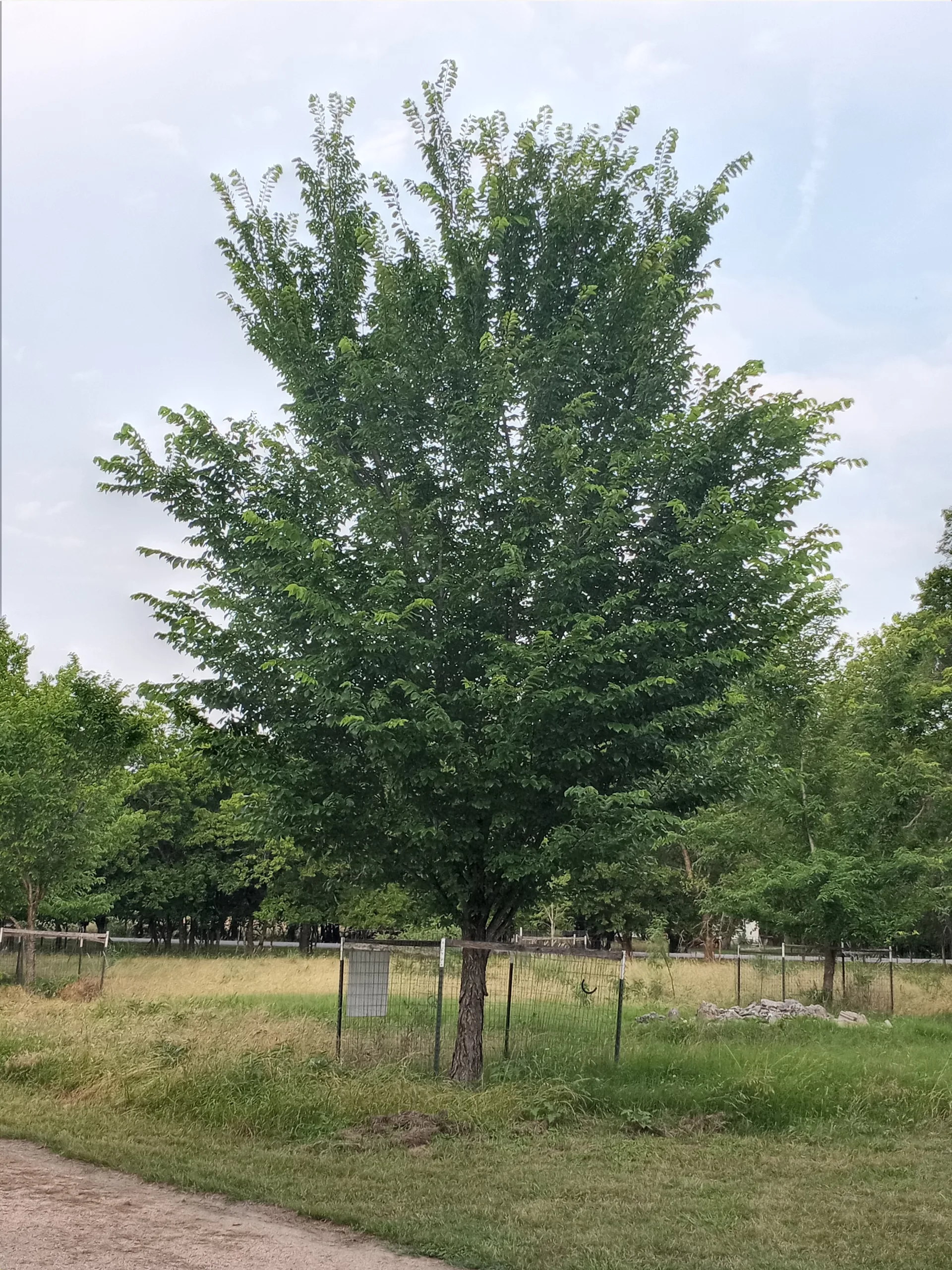
American Elm
Ulmus americana
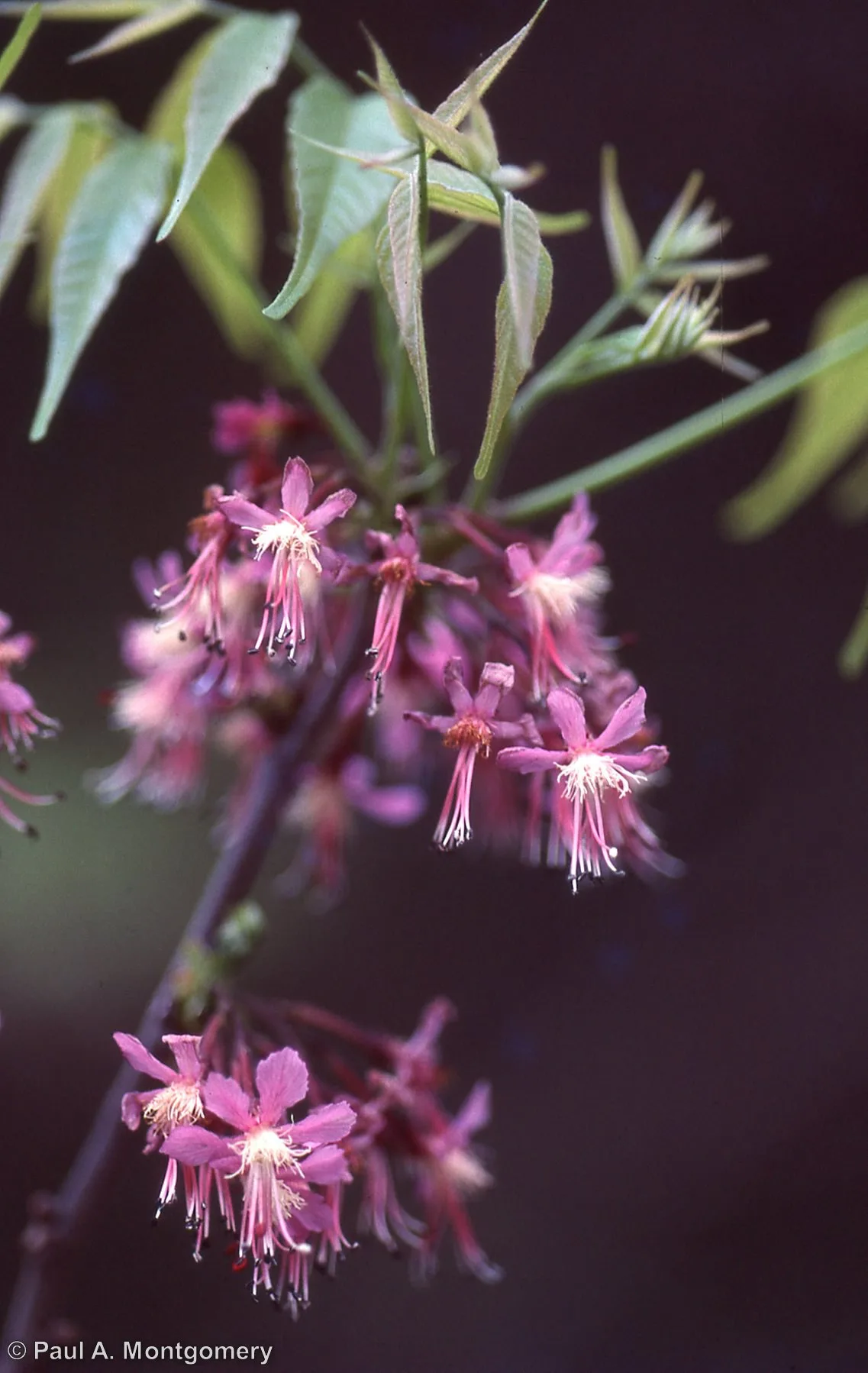
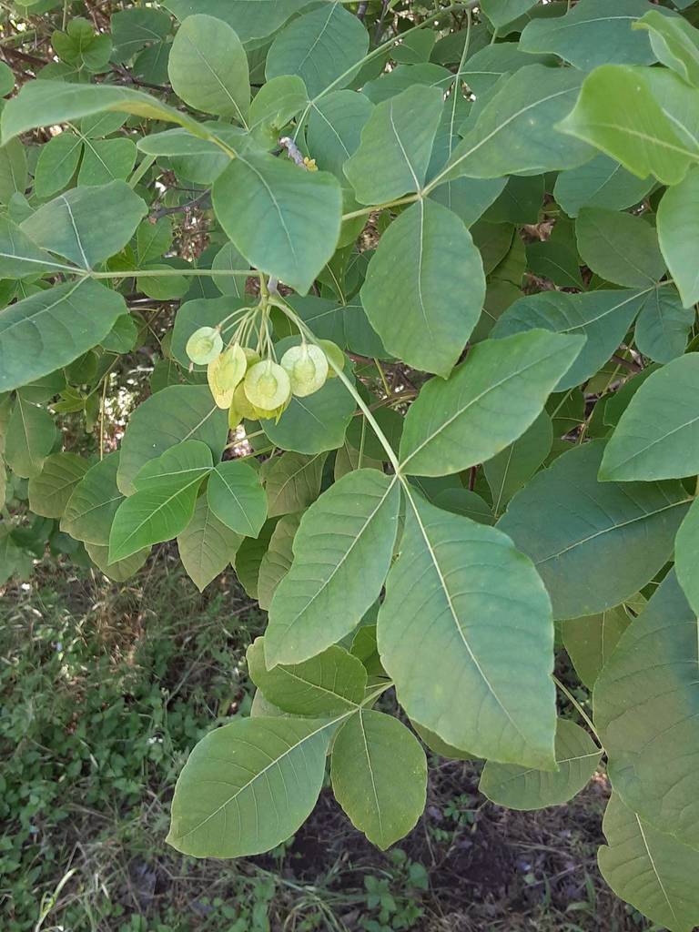
Mexican Buckeye
Ungnadia speciosa
Cowpen Daisy
Verbesina encelioides
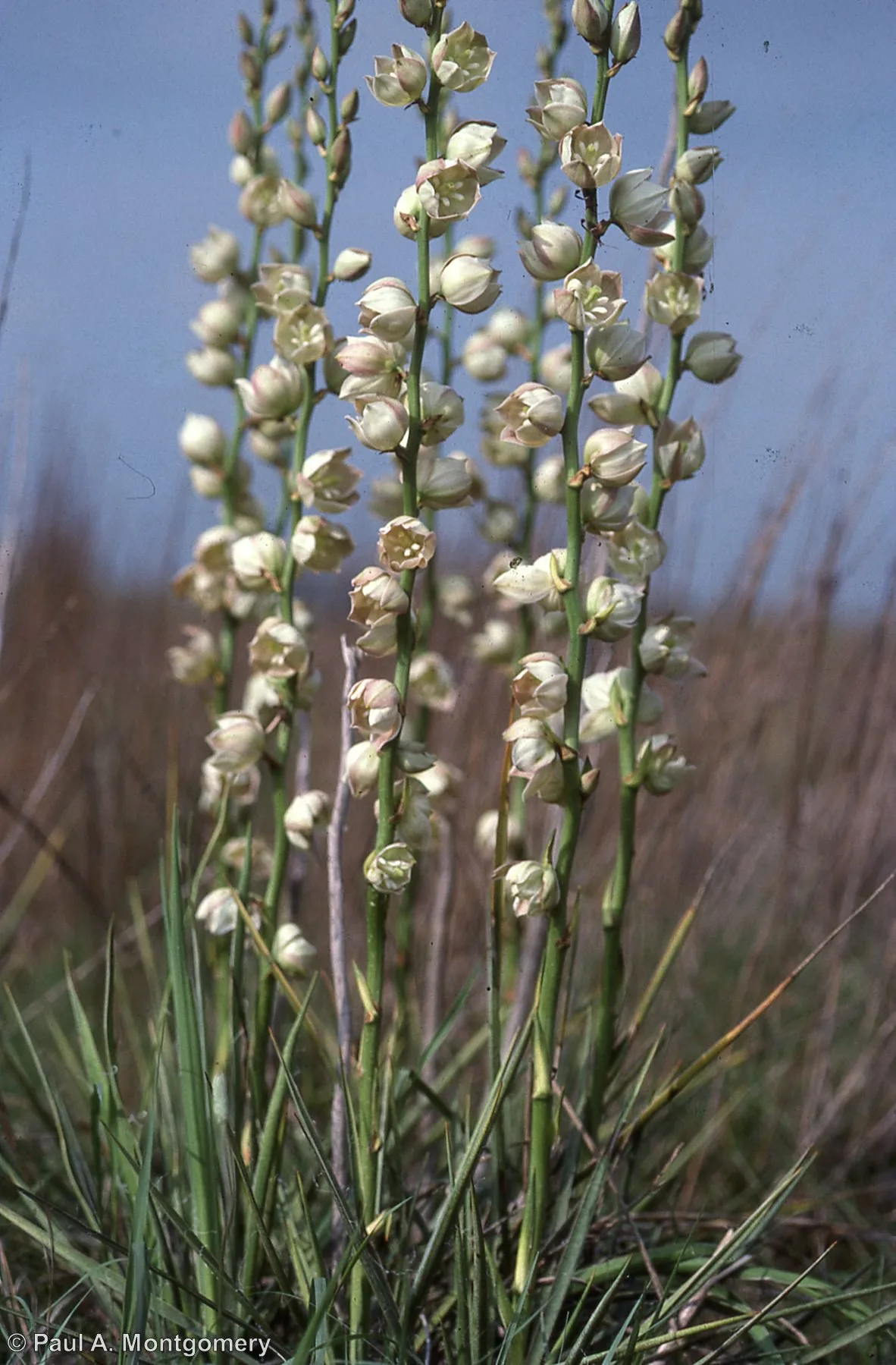
Arkansas Yucca
Yucca arkansana
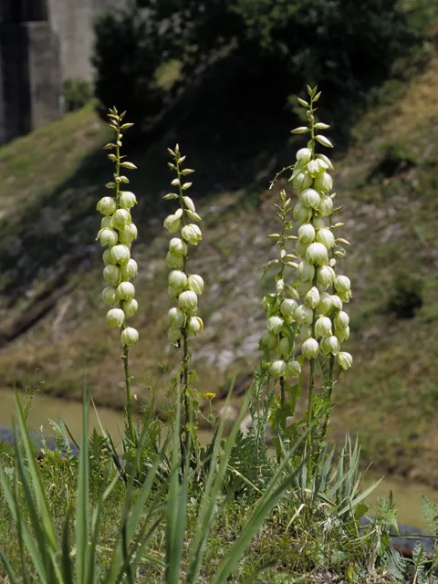
Pale Yucca
Yucca pallida
Mountain Pinks
Zeltnera beyrichii

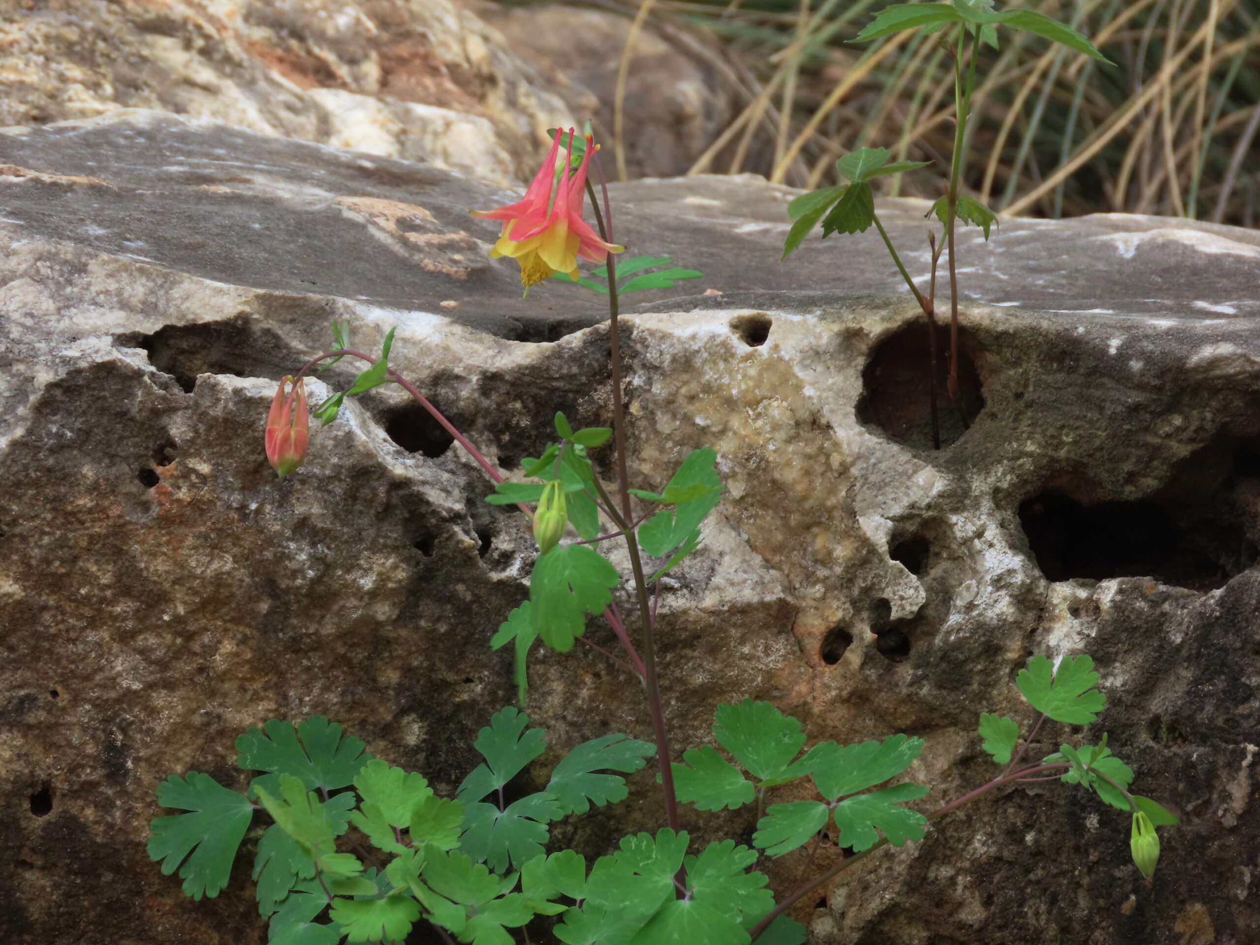
Wild Red Columbine
Aquilegia canadensis
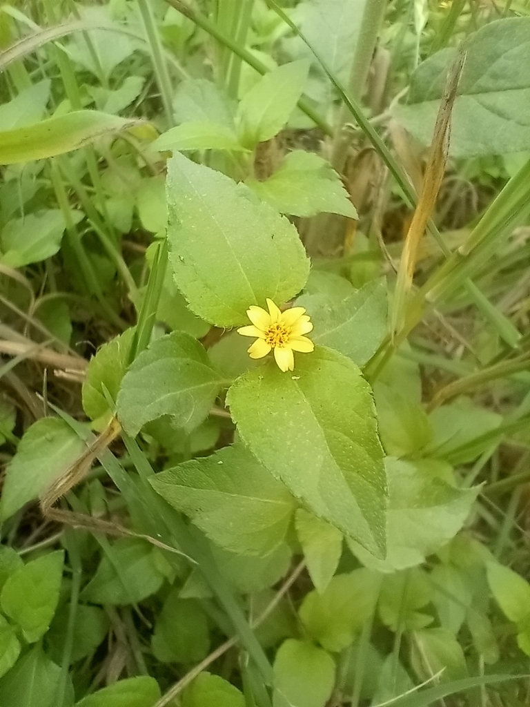
Horseherb
Calyptocarpus vialis
Chile Pequin
Capsicum annuum
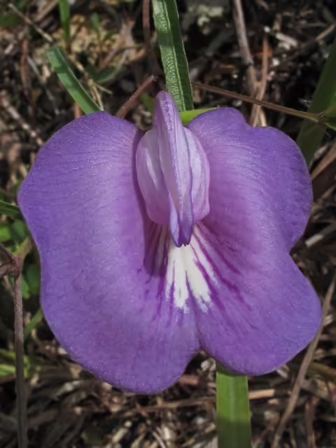
Spurred Butterfly Pea
Centrosema virginianum
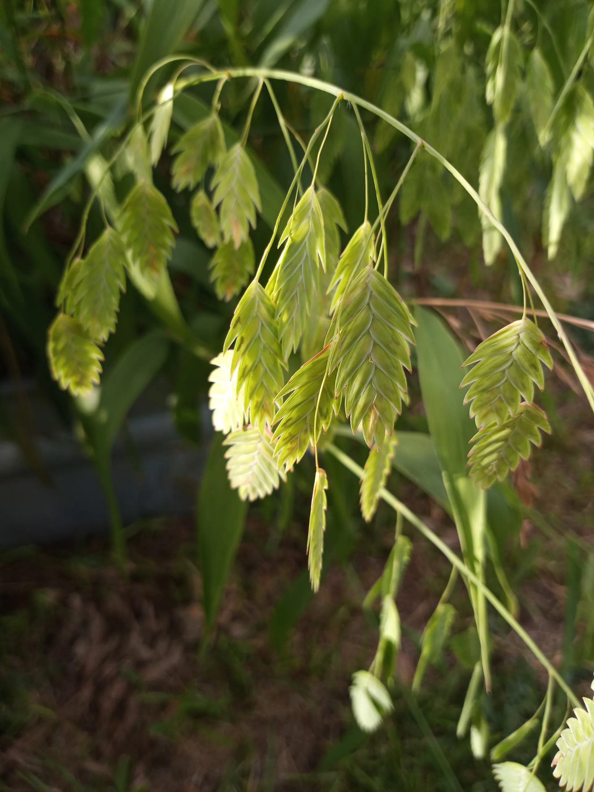
Inland Sea Oats
Chasmanthium latifolium
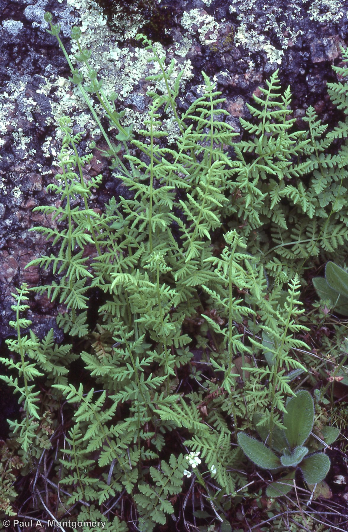
Alabama Lipfern
Cheilanthes alabamensis
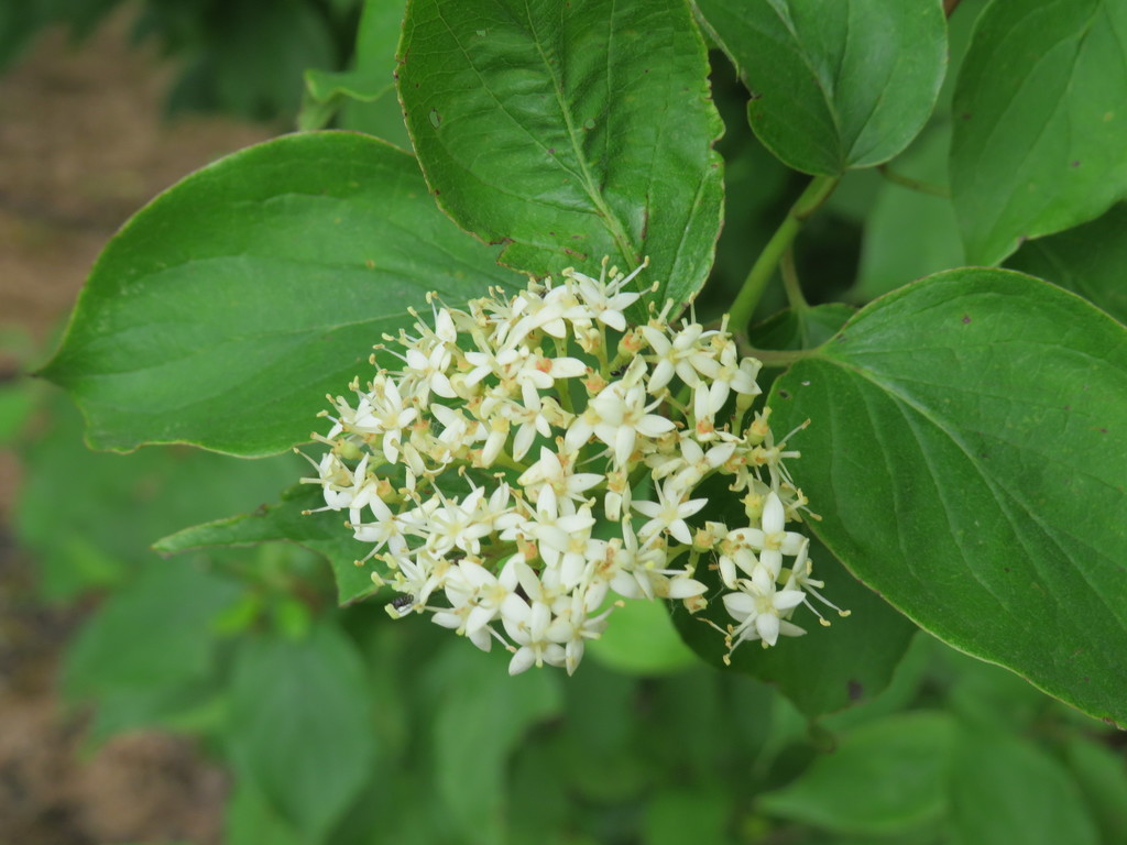
Roughleaf Dogwood
Cornus drummondii
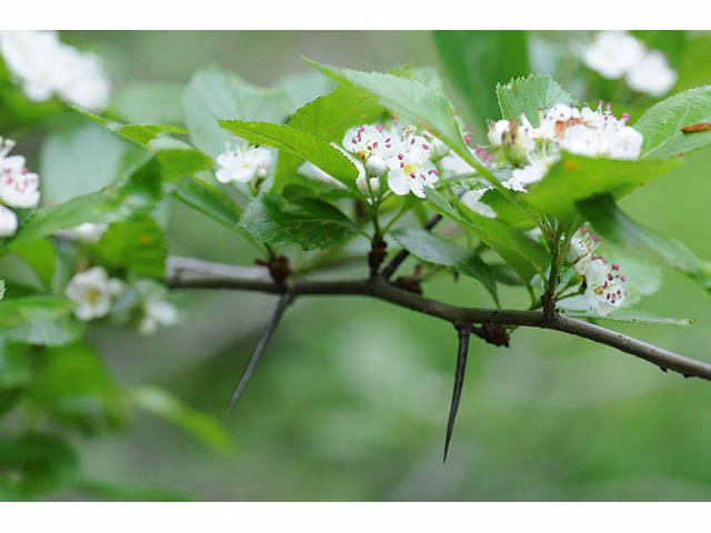
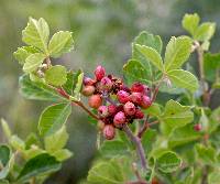
Cockspur Hawthorn
Crataegus crus-galli
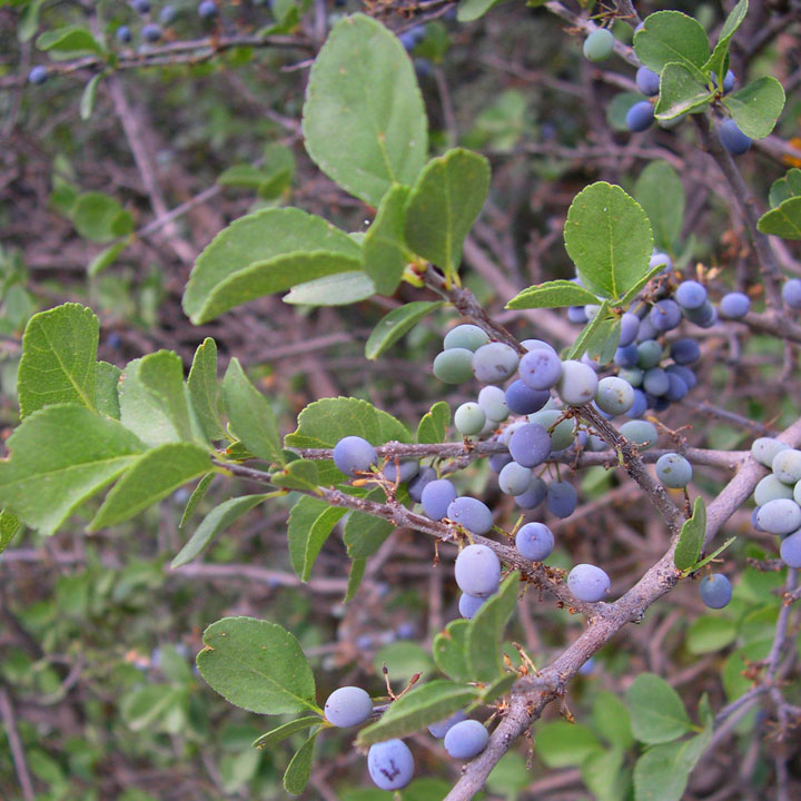
Elbowbush
Forestiera pubescens
Hairy Sunflower
Helianthus hirsutus
Balsam Gourd
Ibervillea lindheimeri

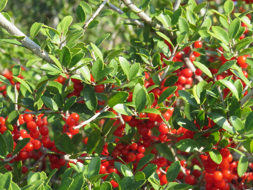
Yaupon Holly
Ilex vomitoria
Cut Rice Grass
Leersia monandra
Yellow Prairie Flax
Linum berlandieri var. berlandieri

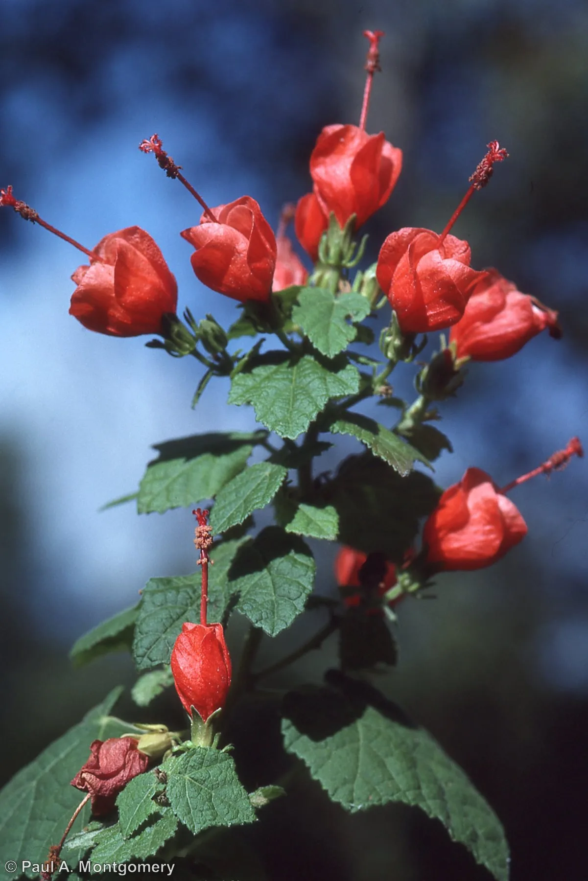
Turk's Cap
Malvaviscus arboreus
Pyramid Flower
Melochia pyramidata

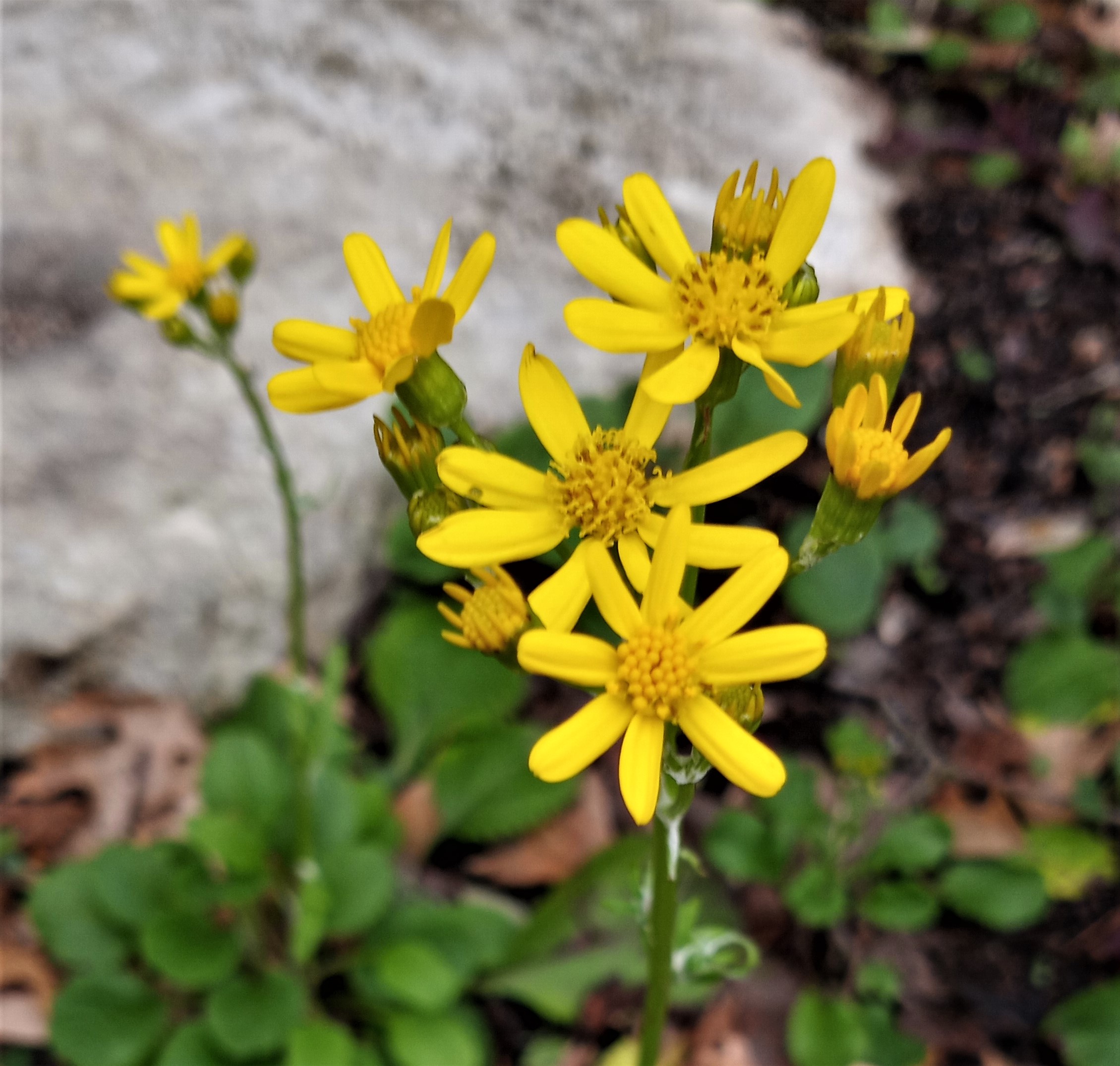
Golden Groundsel
Packera obovata
Seven-leaf Creeper
Parthenocissus heptaphylla
Virginia Creeper
Parthenocissus quinquefolia
Wafer Ash
Ptelea trifoliata
Aromatic Sumac
Rhus aromatica
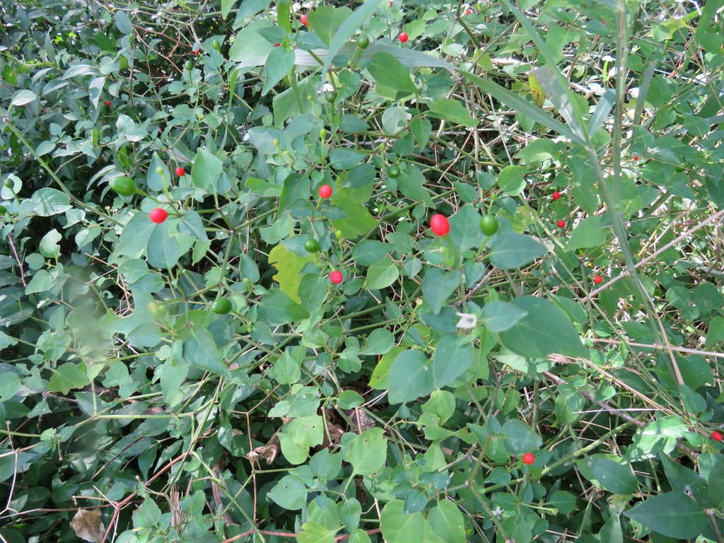
Pigeonberry
Rivina humilis
Drummond's Wild Petunia
Ruellia drummondiana
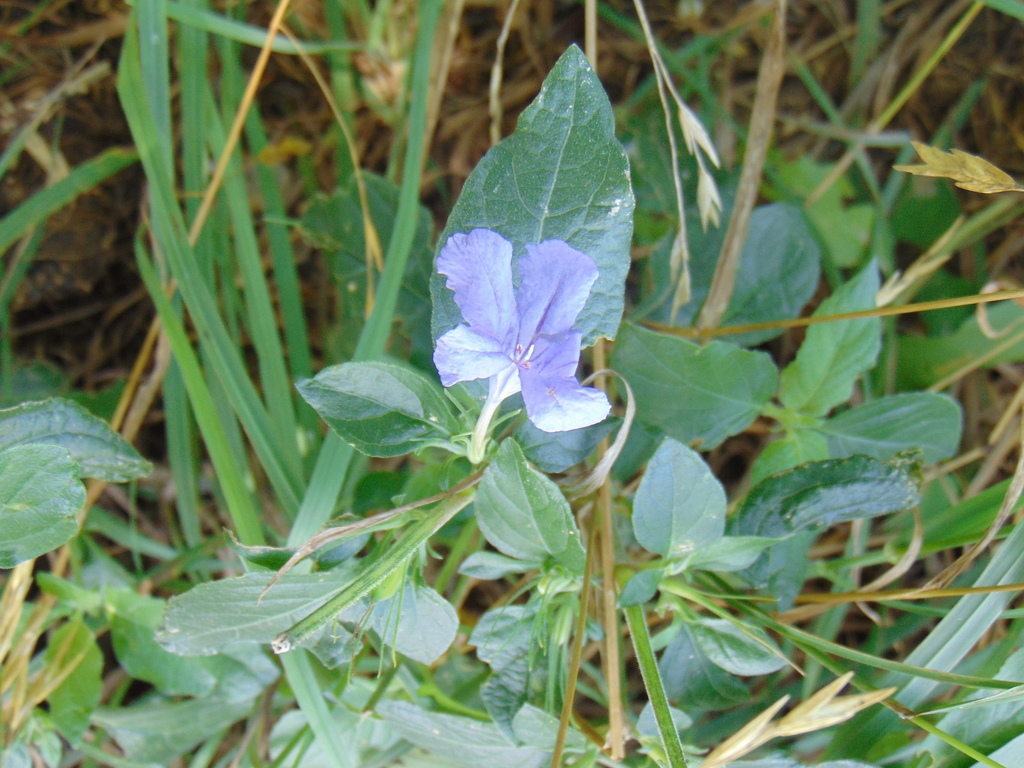
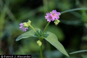
Wild Petunia
Ruellia nudiflora
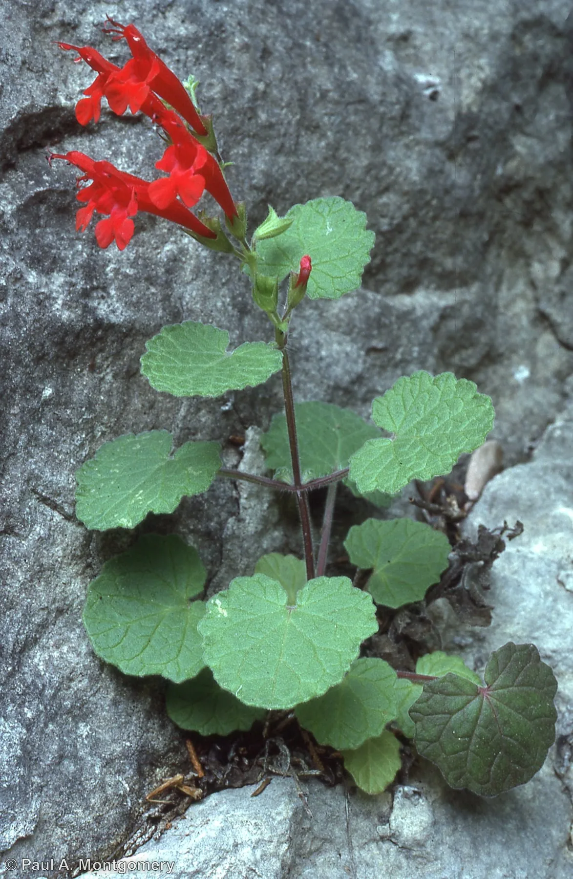
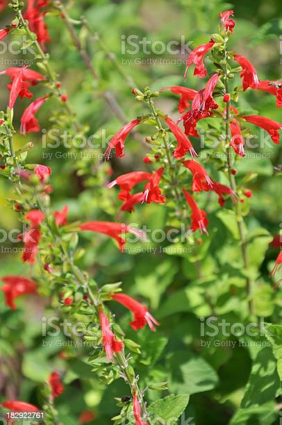
Scarlet Sage
Salvia coccinea
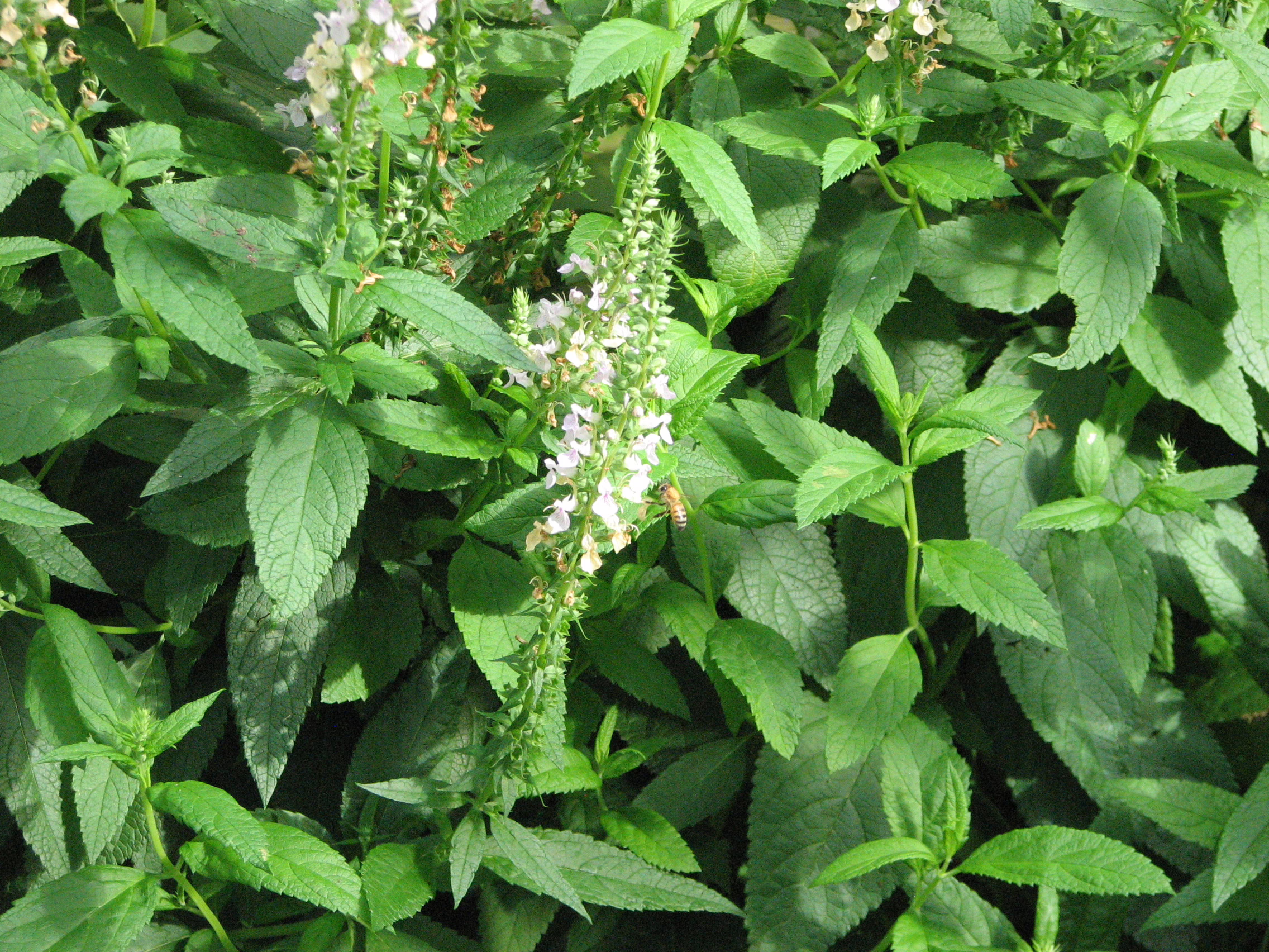
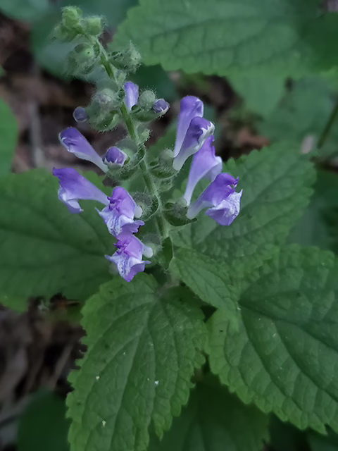
Heartleaf Skullcap
Scutellaria ovata
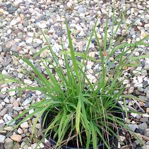
Southwestern Bristlegrass
Setaria scheelei
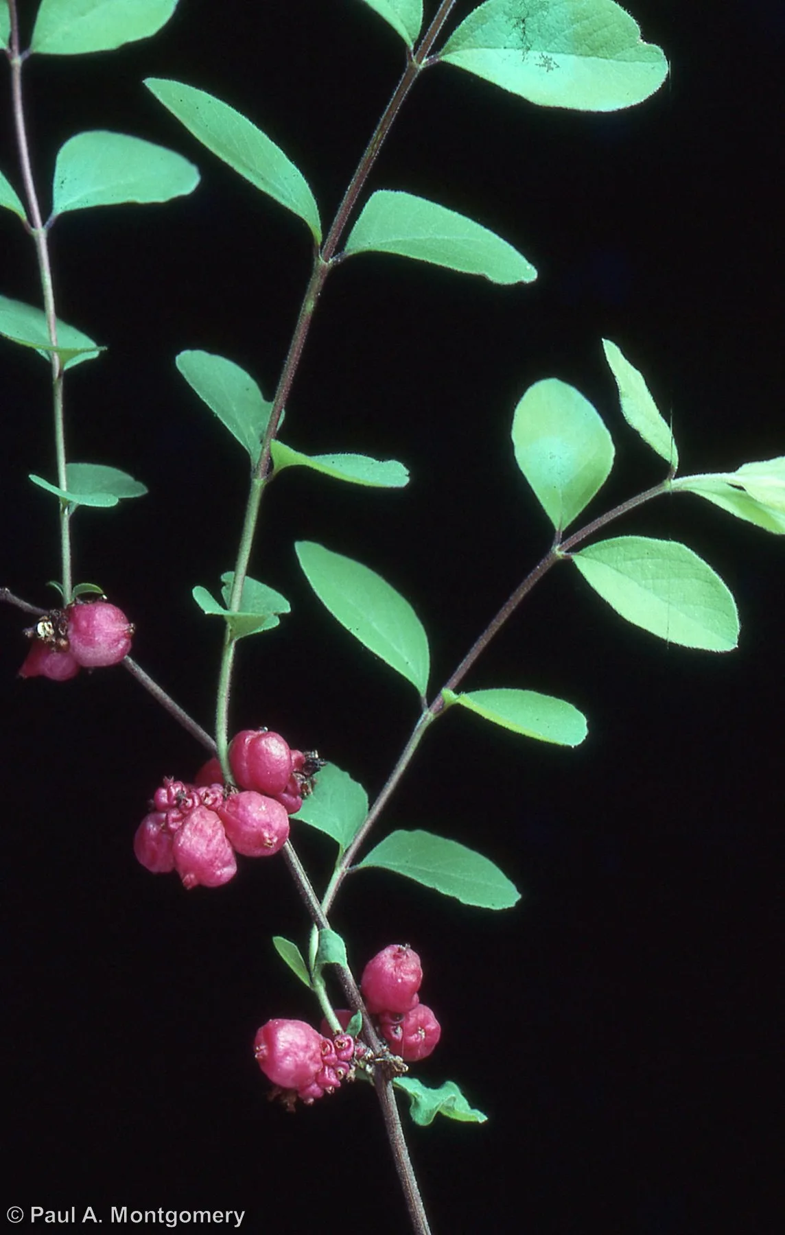
Coralberry
Symphoricarpos orbiculatus
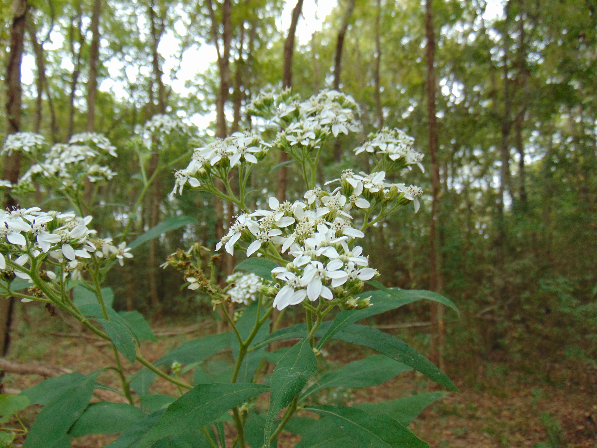
Frostweed
Verbesina virginica
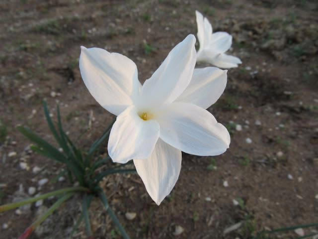
Prairie Lily
Zephyranthes drummondii